Katuli Union
Katuli Union
কাতুলী ইউনিয়ন | |
|---|---|
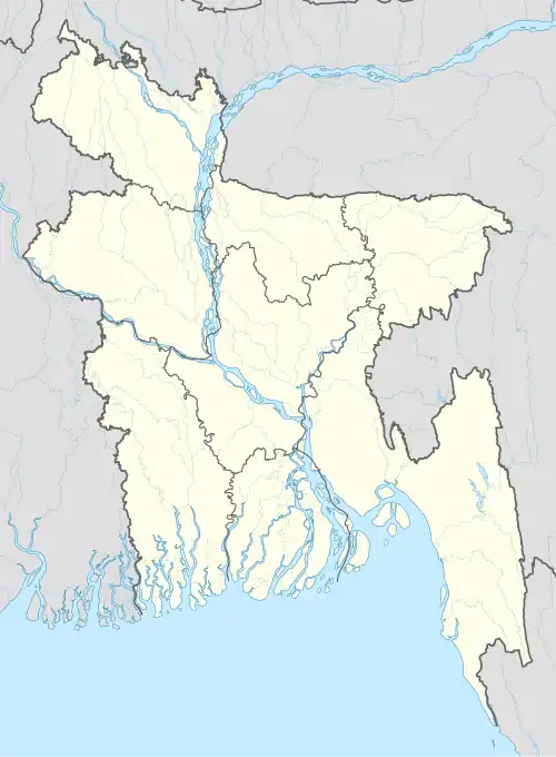 Katuli Union Location of Katuli Union in Bangladesh | |
| Coordinates: 24°13′45″N 89°50′28″E / 24.229115°N 89.841186°E | |
| Country | Bangladesh |
| Division | Dhaka Division |
| District | Tangail District |
| Upazila | Tangail Sadar Upazila |
| Established | 1984 |
| Government | |
| • Type | Union Council |
| Area | |
• Total | 26.92 km2 (10.39 sq mi) |
| Elevation | 14 m (46 ft) |
| Population (2011) | |
• Total | 29,811 |
| • Density | 1,100/km2 (2,900/sq mi) |
| Time zone | UTC+6 (BST) |
| Postal code | 1900 |
| Website | katuliup |
Katuli Union (Bengali: কাতুলী ইউনিয়ন) is a union of Tangail Sadar Upazila, Tangail District, Bangladesh. It is situated 9 kilometres (5.6 mi) west of Tangail, the district headquarters.
Demographics
According to the 2011 Bangladesh census, Katuli Union had 6,433 households and a population of 29,811. The literacy rate (age 7 and over) was 33% (male: 37.1%, female: 29.2%).[1]
See also
References
- ^ "Community Report: Tangail" (PDF). Population & Housing Census 2011. Bangladesh Bureau of Statistics. Archived from the original (PDF) on 2016-12-02. Retrieved 2017-06-18.