Kelontekemäjärvi
| Kelontekemäjärvi | |
|---|---|
 Kelontekemäjärvi | |
| Location | Kittilä |
| Coordinates | 67°31′N 25°33′E / 67.517°N 25.550°E |
| Primary inflows | Kievanaoja |
| Primary outflows | river Kelontekemäjoki to the river Jeesiöjoki |
| Catchment area | Kemijoki |
| Basin countries | Finland |
| Surface area | 16.432 km2 (6.344 sq mi) |
| Average depth | 2.7 m (8 ft 10 in) |
| Max. depth | 5.1 m (17 ft) |
| Water volume | 0.0444 km3 (36,000 acre⋅ft) |
| Shore length1 | 26.21 km (16.29 mi) |
| Surface elevation | 197.5 m (648 ft) |
| References | [1] |
| 1 Shore length is not a well-defined measure. | |
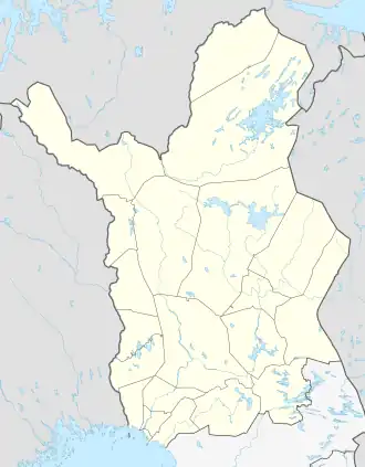
Kelontekemäjärvi is a medium-sized lake in the Kemijoki main catchment area. It is located in Kittilä municipality in the region Lapland in Finland.[1] Historically the lake has been a border mark between the Sami villages of Kittilä and Sodankylä.
See also
References
- ^ a b Kelontekemäjärvi in the Jarviwiki Web Service. Retrieved 2014-03-22. (in English)