Kempville, Tennessee
Kempville, Tennessee | |
|---|---|
 Houses in Kempville | |
 Kempville, Tennessee  Kempville, Tennessee | |
| Coordinates: 36°20′48″N 85°51′47″W / 36.34667°N 85.86306°W | |
| Country | United States |
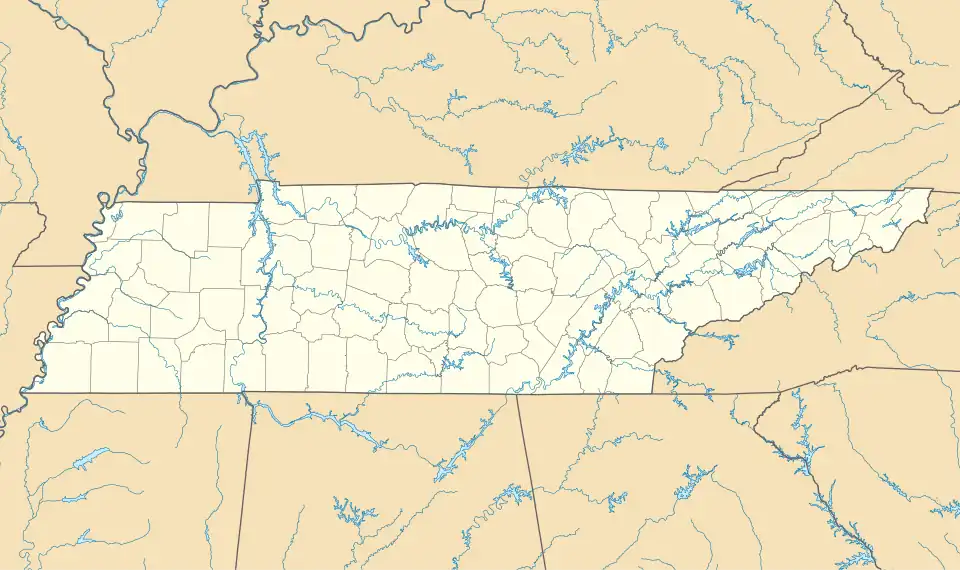
| State | Tennessee |
| County | Smith |
| Elevation | 623 ft (190 m) |
| Time zone | UTC-6 (Central (CST)) |
| • Summer (DST) | UTC-5 (CDT) |
| ZIP codes | 37030, 37145 |
| Area code | 615 |
| GNIS feature ID | 1290057[1] |
Kempville is an unincorporated community in Smith County, Tennessee, United States.[1] It is located along State Route 85 in a hilly area northeast of Carthage. Kempville Branch, a tributary of Defeated Creek, flows through the community.
Kempville was probably named for a family of early settlers in the area.[2]
References
- ^ a b "Kempville, Tennessee". Geographic Names Information System. United States Geological Survey, United States Department of the Interior.
- ^ Larry Miller, Tennessee Place Names (Indiana University Press, 2001), p. 112.
External links
 Media related to Kempville, Tennessee at Wikimedia Commons
Municipalities and communities of Smith County, Tennessee, United States | ||
|---|---|---|
| Towns |  | |
| CDP | ||
| Other communities | ||