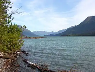
Kenai Lake
| Kenai Lake | |
|---|---|
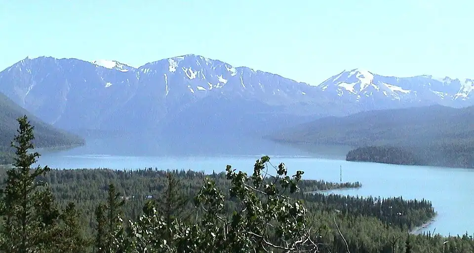 North Kenai lake near Cooper Landing | |
 Kenai Lake 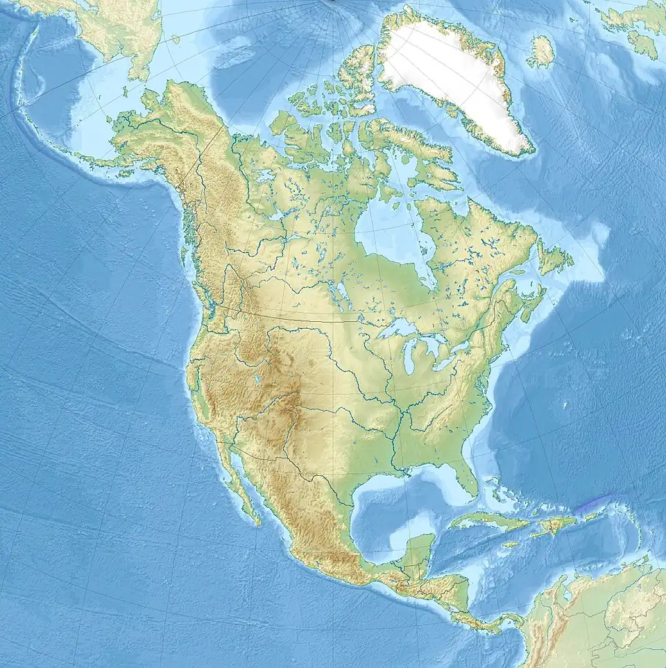 Kenai Lake | |
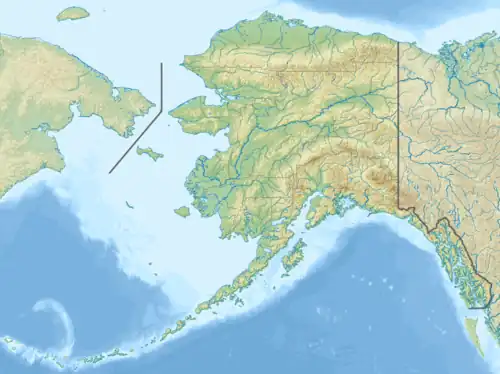
| Location | Kenai Peninsula, Alaska |
| Coordinates | 60°23′32″N 149°34′24″W / 60.39222°N 149.57333°W |
| Type | Natural Freshwater |
| Primary inflows | Snow River, Trail River |
| Primary outflows | Kenai River |
| Basin countries | United States |
| Max. length | 22 mi (35 km) |
| Surface area | 13,813 acres (5,590 ha) |
| Average depth | 299 ft (91 m) |
| Max. depth | 569 ft (173 m)[1] |
| Surface elevation | 433 ft (132 m) |
| Settlements | Cooper Landing, Primrose |
Kenai Lake (Dena'ina: Sqilan Bena) is a large, "zig-zag" shaped lake[2] on the Kenai Peninsula, Alaska. The lake forms the headwaters of the Kenai River,[3] and is itself a destination for fishing and other outdoor activity. The Dena'ina call the lake Sqilan Bena, meaning "ridge lake place".[4] Due to its size and shape it is accessible from both the Sterling Highway and the Seward Highway.
See also
References
External links
- Panoramic view Archived 2016-03-03 at the Wayback Machine of the lake from Cooper Landing
Kenai River system | ||
|---|---|---|
| Bodies of water | 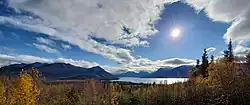 | |
| Settlements | ||
| Protected areas | ||