Kewtaveer
Kewtaveer | |
|---|---|
Village | |
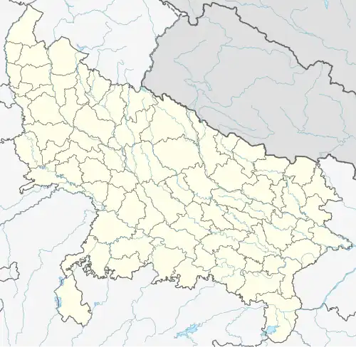 Kewtaveer Location in Uttar Pradesh, India  Kewtaveer Kewtaveer (India) | |
| Coordinates: 25°13′N 82°40′E / 25.22°N 82.67°E | |
| Country | |
| State | Uttar Pradesh |
| District | Mirzapur |
| Elevation | 84 m (276 ft) |
| Population (2001)[1] | |
• Total | 3,417 |
| Languages | |
| • Official | Hindi |
| Time zone | UTC+5:30 (IST) |
| Vehicle registration | UP |
| Sex ratio | 53.7% (M)/46.23% (F) ♂/♀ |
| Website | up |
Kewtaveer (Kewatabir) is a village situated on the banks of the river Ganges in the Indian state of Uttar Pradesh in India.
Geography
Kewatabir is located at 25°13′N 82°40′E / 25.22°N 82.67°E. It has an average elevation of 84 metres (275 feet). It is around 40 km. away from Varanasi Cantt.
References
- ^ "Census India". Archived from the original on 4 October 2013. Retrieved 5 September 2013. Official census data of India as of 2001