Chamtar Khan-e Sofla
Chamtar Khan-e Sofla
چمترخان سفلي | |
|---|---|
village | |
 Chamtar Khan-e Sofla | |
| Coordinates: 31°57′28″N 48°46′44″E / 31.95778°N 48.77889°E | |
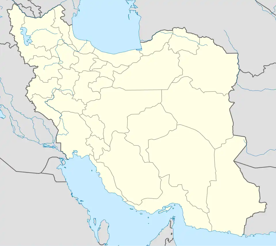
| Country | |
| Province | Khuzestan |
| County | Shushtar |
| Bakhsh | Shadravan |
| Rural District | Shoaybiyeh-ye Gharbi |
| Population (2006) | |
• Total | 179 |
| Time zone | UTC+3:30 (IRST) |
| • Summer (DST) | UTC+4:30 (IRDT) |
Chamtar Khan-e Sofla (Persian: چمترخان سفلي, also Romanized as Chamtar Khān-e Soflá; also known as Chamtar Khān-e Pā’īn, Kabūtār Khān-e Soflā, and Khalaf-e Nabī)[1] is a village in Shoaybiyeh-ye Gharbi Rural District, Shadravan District, Shushtar County, Khuzestan province, Iran. At the 2006 census, its population was 179, in 38 families.[2]
References
- ^ Chamtar Khan-e Sofla can be found at GEOnet Names Server, at this link, by opening the Advanced Search box, entering "-3764670" in the "Unique Feature Id" form, and clicking on "Search Database".
- ^ "Census of the Islamic Republic of Iran, 1385 (2006)" (Excel). Statistical Center of Iran. Archived from the original on 2011-09-20.