Khawbung
Khawbung (/koʊbuːŋ/) is a village in the Champhai district in the Indian state of Mizoram. It is the administrative centre of Khawbung rural development block[1] and Khawbung assembly constituency, which has been renamed as the 25 East Tuipui Constituency.[2]
Khawbung is an administrative block headquarters headed by a Block Development Officer (BDO). There are 25 villages[3] with a total population of 22,139 (11295 males and 10844 females)[4] under the Khawbung RD Block.
Geography
Khawbung | |
|---|---|
Sub-Town | |
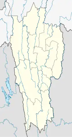 Khawbung Location in Mizoram, India  Khawbung Khawbung (India) | |
| Coordinates: 23°10′N 93°14′E / 23.167°N 93.233°E | |
| Country | |
| State | Mizoram |
| District | Champhai |
| Population (2011) | |
• Total | 2,097[5] |
| Languages | |
| • Official | Mizo |
| Time zone | UTC+5:30 (IST) |
| PIN | 796321 |
| Vehicle registration | MZ |
| Coastline | 0 kilometres (0 mi) |
| Nearest city | Champhai |
| Sex ratio | 978 females per 1000 males[5] ♂/♀ |
| Literacy | 98.12% |
| Website | mizoram |