Khedoi
Khedoi | |
|---|---|
village | |
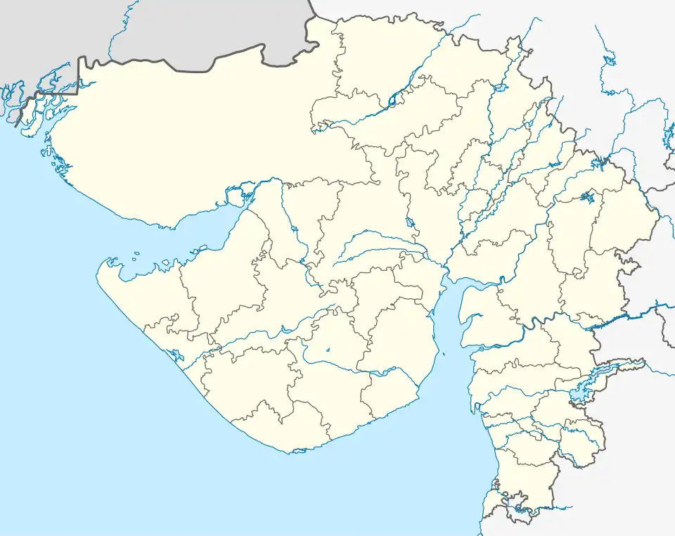 Khedoi Location in Gujarat, India | |
| Coordinates: 23°03′33″N 69°55′08″E / 23.059279°N 69.918955°E | |
| Country | |
| State | Gujarat |
| District | Kachchh |
| Panchayat | Gram Panchayat |
| Elevation | 27 m (89 ft) |
| Languages | |
| • Official | Gujarati |
| Time zone | UTC+5:30 (IST) |
| PIN | 370130 |
| Telephone code | 02836 |
| Vehicle registration | GJ-12 |
| Sex ratio | 0.894 ♂/♀ |
| Distance from Bhuj | 34 kilometres (21 mi) |
| Distance from Ahmedabad | 350 kilometres (220 mi) |
Khedoi is large village located 14 km from the town of Anjar and the taluka of Kutch district in the Indian state of Gujarat. The village is sub-divided into Nani-Khedoi and Moti-Khedoi. It has a primary health centre and a major electricity processing plant. The main occupation of the villagers is agriculture.[1][2]
References
- ^ "Khedoi S.O District Kachchh, Government of Gujarat India". Retrieved 19 May 2025.
- ^ Journal of Agricultural Engineering. Indian Society of Agricultural Engineers. 1998. pp. 2, 3, 4, 5. Retrieved 19 May 2025.