Kilbourne, Ohio
Kilbourne, Ohio | |
|---|---|
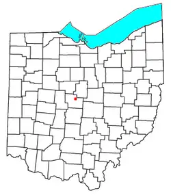 Location of Kilbourne in Ohio | |
| Coordinates: 40°19′56″N 82°57′33″W / 40.33222°N 82.95917°W | |
| Country | United States |
| State | Ohio |
| County | Delaware |
| Township | Brown |
| Area | |
• Total | 0.45 sq mi (1.16 km2) |
| • Land | 0.45 sq mi (1.16 km2) |
| • Water | 0.00 sq mi (0.00 km2) |
| Elevation | 919 ft (280 m) |
| Population (2020) | |
• Total | 127 |
| • Density | 282.85/sq mi (109.17/km2) |
| Time zone | UTC-5 (Eastern (EST)) |
| • Summer (DST) | UTC-4 (EDT) |
| ZIP code | 43032 |
| Area codes | 740, 220 |
| FIPS code | 39-40124[3] |
| GNIS feature ID | 2628909[2] |
Kilbourne is a census-designated place in eastern Brown Township, Delaware County, Ohio, United States. As of the 2020 census it had a population of 127. The community has a post office with the ZIP code of 43032.[4] It lies along State Route 521.
History
Kilbourne was originally called Eden.[5] A post office called Kilbourne was in operation since 1837 but was closed in 2017.[6] The community has the name of James Kilbourne, surveyor.[7]
Demographics
| Census | Pop. | Note | %± |
|---|---|---|---|
| 2020 | 127 | — | |
| U.S. Decennial Census[8] | |||
References
- ^ "ArcGIS REST Services Directory". United States Census Bureau. Retrieved September 20, 2022.
- ^ a b U.S. Geological Survey Geographic Names Information System: Kilbourne, Ohio
- ^ "Geographic Identifiers: 2010 Demographic Profile Data (G001): Kilbourne CDP, Ohio". U.S. Census Bureau, American Factfinder. Archived from the original on February 13, 2020. Retrieved December 7, 2015.
- ^ Zip Code Lookup
- ^ History of Delaware County and Ohio. O. L. Baskin & Company. 1880. p. 560.
- ^ "Delaware County". Jim Forte Postal History. Retrieved January 15, 2016.
- ^ History of Delaware County and Ohio. O. L. Baskin & Company. 1880. p. 517.
- ^ "Census of Population and Housing". Census.gov. Retrieved June 4, 2016.
Municipalities and communities of Delaware County, Ohio, United States | ||
|---|---|---|
| Cities | 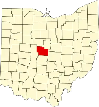 | |
| Villages | ||
| Townships | ||
| CDPs | ||
| Unincorporated communities | ||
| Ghost towns | ||
| Footnotes | ‡This populated place also has portions in an adjacent county or counties | |