Kimama, Idaho
Kimama, Idaho | |
|---|---|
populated place | |
 Kimama  Kimama | |
| Coordinates: 42°50′17″N 113°47′44″W / 42.83806°N 113.79556°W | |
| Country | United States |
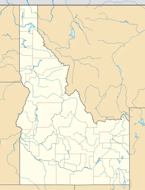
| State | Idaho |
| County | Lincoln |
| Elevation | 4,272 ft (1,302 m) |
| Time zone | UTC-7 (Mountain (MST)) |
| • Summer (DST) | UTC-6 (MDT) |
| GNIS feature ID | 396741[1] |
Kimama is a populated place in Lincoln County, Idaho, United States. Kimama is located on State Highway 24 between Deitrich and Minidoka.[2]
There is a Bureau of Land Management (Twin Falls District) fire station in Kimama.[3]
Kimama is about 3 miles north of a volcanic hill called The Crater, and about 7 miles northeast of the larger volcanic butte called Kimama Butte.[4] The Shale Butte Wilderness Study Area is north of Kimama.
References
- ^ a b U.S. Geological Survey Geographic Names Information System: Kimama, Idaho
- ^ Kimama, Idaho Gazetteer, HomeTownLocator
- ^ Twin Falls District Incident Logistics
- ^ Lake Walcott, Idaho, 1:100,000-scale metric topographic map. 30 x 60 Minute Series (Topographic), 1993. USGS.
Municipalities and communities of Lincoln County, Idaho, United States | ||
|---|---|---|
| Cities | 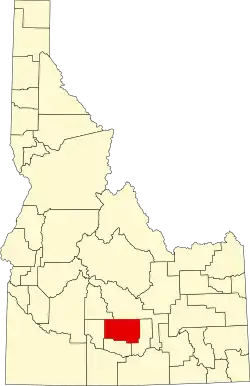 | |
| Unincorporated community | ||