Kimbridge
| Kimbridge | |
|---|---|
 Bridge across the River Test in Kimbridge | |
 Kimbridge Location within Hampshire | |
| Population | 177 |
| OS grid reference | SU3272125236 |
| Civil parish | |
| District | |
| Shire county | |
| Region | |
| Country | England |
| Sovereign state | United Kingdom |
| Post town | ROMSEY |
| Postcode district | SO51 |
| Dialling code | 01794 |
| Police | Hampshire and Isle of Wight |
| Fire | Hampshire and Isle of Wight |
| Ambulance | South Central |
| UK Parliament | |
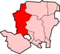
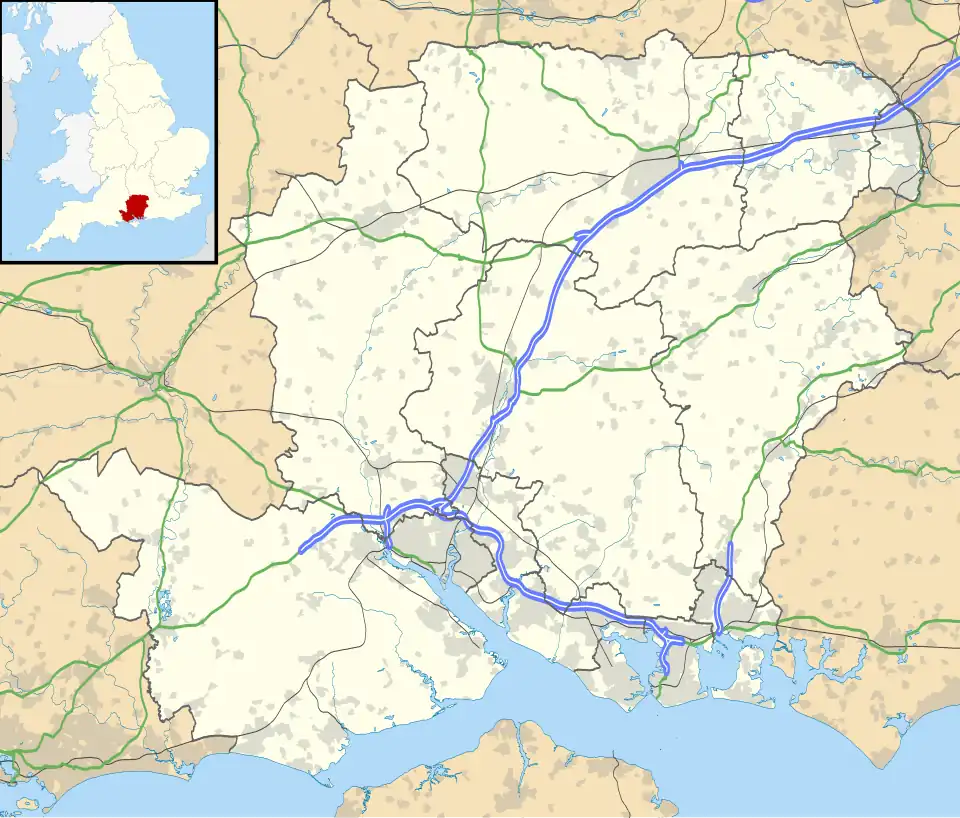
Kimbridge is a small village in Mottisfont civil parish in the Test Valley district of Hampshire, England. Its nearest town is Romsey, which lies approximately 4 miles (6.3 km) south-east. Originally called "King's Bridge" in Civil War times. According to the 2011 census, the population was approximately 144. It consists mainly of a Farm Shop and Restaurant ("Annies") and a trout farm. Most of the area is owned and managed by Kimbridge Estates, but there are a small number of private houses - including a large mansion on the water's edge. The bridge itself is on some of the best fishing waterway in the country. The Test Way long-distance footpath passes through the village, as does the Cardiff-Southampton railway; the nearest railway station is Mottisfont & Dunbridge to the north-west. Kimbridge Junction on the so-called Sprat and Winkle Line was located in Kimbridge.