Kinyuka
Kinyuka
Sa-rā-ki | |
|---|---|
village | |
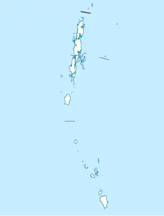 Kinyuka Location in Andaman and Nicobar Islands, India  Kinyuka Kinyuka (India) | |
| Coordinates: 9°12′27″N 92°48′56″E / 9.207580°N 92.815666°E | |
| Country | India |
| State | Andaman and Nicobar Islands |
| District | Nicobar |
| Tehsil | Car Nicobar |
| Population (2011) | |
• Total | 1,120 |
| Time zone | UTC+5:30 (IST) |
| Census code | 645022 |
Kinyuka is a village in the Nicobar district of Andaman and Nicobar Islands, India. It is located in the Car Nicobar tehsil.[1]
Demographics
According to the 2011 census of India, Kinyuka has 309 households. The effective literacy rate (i.e. the literacy rate of population excluding children aged 6 and below) is 73.89%.[2]
| Total | Male | Female | |
|---|---|---|---|
| Population | 1120 | 558 | 562 |
| Children aged below 6 years | 128 | 62 | 66 |
| Scheduled caste | 0 | 0 | 0 |
| Scheduled tribe | 1073 | 526 | 547 |
| Literates | 733 | 387 | 346 |
| Workers (all) | 323 | 225 | 98 |
| Main workers (total) | 105 | 77 | 28 |
| Main workers: Cultivators | 4 | 4 | 0 |
| Main workers: Agricultural labourers | 1 | 1 | 0 |
| Main workers: Household industry workers | 2 | 2 | 0 |
| Main workers: Other | 98 | 70 | 28 |
| Marginal workers (total) | 218 | 148 | 70 |
| Marginal workers: Cultivators | 2 | 1 | 1 |
| Marginal workers: Agricultural labourers | 10 | 6 | 4 |
| Marginal workers: Household industry workers | 112 | 92 | 20 |
| Marginal workers: Others | 94 | 49 | 45 |
| Non-workers | 797 | 333 | 464 |
References
- ^ "Andaman and Nicobar Islands villages" (PDF). Land Records Information Systems Division, NIC. Archived from the original (PDF) on 4 March 2016. Retrieved 25 July 2015.
- ^ a b "District Census Handbook - Andaman & Nicobar Islands" (PDF). 2011 Census of India. Directorate of Census Operations, Andaman & Nicobar Islands. Archived from the original (PDF) on 1 August 2015. Retrieved 21 July 2015.