Kiphire
Kiphire | |
|---|---|
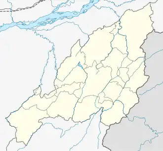 Kiphire Location in Nagaland | |
| Coordinates: 25°53′10″N 94°47′08″E / 25.88611°N 94.78556°E | |
| Country | |
| State | |
| District | Kiphire District |
| Government | |
| • Type | Town Council |
| Area | |
• Total | 9 km2 (3 sq mi) |
| Elevation | 896 m (2,940 ft) |
| Population (2011) | |
• Total | 11,799 |
| • Rank | 17th in Nagaland |
| • Density | 100/km2 (300/sq mi) |
| Languages | |
| • Official | English |
| Time zone | UTC+5:30 (IST) |
| Vehicle registration | NL |
| Website | http://kiphire.nic.in |
Kiphire (Pron:/ˈkɪfɑɪə/) is a town and the administrative seat of the Kiphire District in the Indian state of Nagaland. It is situated at an elevation of 896 m (2,940 ft) above sea level.
Villages
- Singrep
- Tetheyo