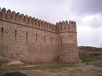
Kirkuk District
Kirkuk District | |
|---|---|
      | |
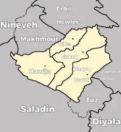
 Location of Kirkuk District within Kirkuk Governorate | |
| Country | |
| Governorate | Kirkuk Governorate |
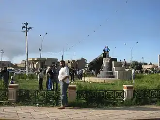
| Seat | Kirkuk |
| Area | |
• District | 3,525 km2 (1,361 sq mi) |
| Highest elevation (Mavi dağ) | 1,138 m (3,734 ft) |
| Population (2018) | 1,138,703 |
| • Urban | 1,048,406 (92.1%) |
| • Rural | 90,297 (7.9%) |
| Time zone | UTC+3 (AST) |
| Area code | +964 50 |
Kirkuk District (Arabic: قضاء كركوك, Kurdish: قەزای کەرکووک, Turkish: Kerkük ilçesi)[1] is a district in Kirkuk Governorate, Iraq. Its administrative center is the city of Kirkuk.
The District is bordered by all 3 Districts: Dibis,Daquq and Hawija
Recently, the border have shifted to give Rashad subdistrict to Kirkuk.
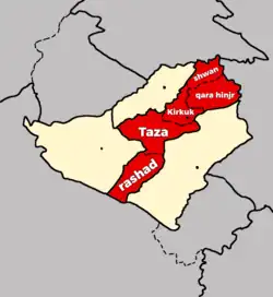
Demographics
| Subdistrict | Population in 2018[2] |
|---|---|
| Kirkuk | 974,824 |
| Yayci(southern part) | 27,874 |
| Al-Multaqa(southern part) | 16,006 |
| Taza(Northern part) | 34,655 |
| Shuwan | 11,620 |
| Qarah Hanjir | 12,233 |
| Total |
References
- ^ "Irak'ın Kerkük kentindeki patlamalarda 16 kişi yaralandı". AA. Retrieved 15 October 2020.
- ^ "Archived copy" (PDF). Archived from the original (PDF) on 2020-11-12. Retrieved 2016-01-14.
{{cite web}}: CS1 maint: archived copy as title (link)