Kondurg
Kondurg | |
|---|---|
Mandal | |
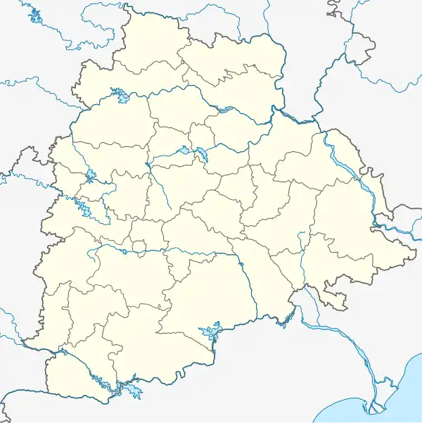 Kondurg Location in Telangana, India  Kondurg Kondurg (India) | |
| Coordinates: 17°05′57″N 78°02′13″E / 17.0992°N 78.0369°E | |
| Country | |
| State | Telangana |
| District | Ranga Reddy district |
| Elevation | 639 m (2,096 ft) |
| Population (2001) | |
• Total | 6,176 |
| Languages | |
| • Official | Telugu |
| Time zone | UTC+5:30 (IST) |
| Telephone code | 08548 |
| Vehicle registration | TG-22 |
| Nearest city | Shadnagar |
| Lok Sabha constituency | Mahabubnagar |
| Vidhan Sabha constituency | Shadnagar |
| Climate | hot (Köppen) |
| Website | telangana |
Kondurg is a Mandal in Ranga Reddy district, Telangana.[1]
Geography
Kondurg is located at 17°05′57″N 78°02′13″E / 17.0992°N 78.0369°E.[2] It has an average elevation of 639 metres (2099 ft).
Demographics
According to Indian census, 2001, the demographic details of Kondurg mandal is as follows:[3]
- Total Population: 54,899 in 10,739 Households.
- Male Population: 27,793 and Female Population: 27,106
- Children Under 6-years of age: 8,888 (Boys - 4,578 and Girls - 4,310)
- Total Literates: 19,261
Kondurg village has a population of 1,925 (East) and 4,251 (West) in 2001.
Panchayats
There are 28 Gram panchayats in the Mandal.[4]
- Agiryal
- Chegireddi Ghanapuram
- Cherukupalle
- Chinna Elikicherla
- Edira
- Galigudem
- Gunjalpad
- Gurrampalle
- Indranagar
- Jakaram
- Jilled
- Kondurg(West)
- Mahadevpoor
- Mutpoor
- Padmaram
- Parvathpur
- Pedda Elikicherla
- Raviryal
- Regadi Chilakamarri
- Srirangapur
- Tangellapalle
- Tekulapalle
- Thoompalle
- Tummalapalle
- Ummethyal Lalapet
- Uttraspally
- Veerannapet
- Venkiryal
- Viswanathpur
References
- ^ "Villages | RangaReddy District Government of Telangana | India". Retrieved 5 December 2023.
- ^ "Maps, Weather, and Airports for Kondurg, India". Fallingrain.com. Retrieved 1 December 2016.
- ^ "Place". ourvillageindia.org.
- ^ Entry search epmis.ap.nic.in
External links