Konig, South Carolina
Konig, South Carolina | |
|---|---|
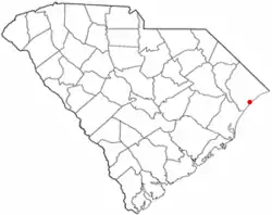 Location of Konig, South Carolina | |
| Coordinates: 33°42′43″N 78°55′19″W / 33.712°N 78.922°W | |
| Country | United States |
| State | South Carolina |
| County | Horry |
| Elevation | 23 ft (7 m) |
| Time zone | UTC-5 (Eastern (EST)) |
| • Summer (DST) | UTC-4 (EDT) |
| ZIP code | 29577 |
| Area codes | 843, 854 |
Konig is an unincorporated community and populated place in Horry County, South Carolina, United States. It is located near the intersections of US Route 17 & US Route 501 in Myrtle Beach.
Geography
Konig is located at latitude 33.712 and longitude -78.922 at an elevation of 23 feet.[1]
References
- ^ "Konig Populated Place Profile". South Carolina HomeTown Locator. Retrieved November 18, 2015.
External links
Municipalities and communities of Horry County, South Carolina, United States | ||
|---|---|---|
| Cities |  | |
| Towns | ||
| CDPs | ||
| Other communities | ||