Koottikkada
Koottikkada
Koottikada | |
|---|---|
Neighbourhood | |
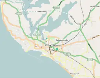 Koottikkada Location in Kollam, India 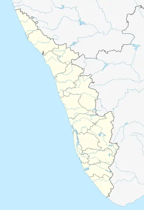 Koottikkada Koottikkada (Kerala)  Koottikkada Koottikkada (India) | |
| Coordinates: 8°51′15″N 76°38′17″E / 8.854297°N 76.638033°E | |
| Country | |
| State | Kerala |
| City | Kollam |
| Government | |
| • Body | Kollam Municipal Corporation(KMC) |
| Languages | |
| • Official | Malayalam, English |
| Time zone | UTC+5:30 (IST) |
| PIN | 691020 |
| Vehicle registration | KL-02 |
| Lok Sabha constituency | Kollam |
| Civic agency | Kollam Municipal Corporation |
| Avg. summer temperature | 34 °C (93 °F) |
| Avg. winter temperature | 22 °C (72 °F) |
| Website | http://www.kollam.nic.in |
Koottikkada or Koottikada is a small neighbourhood of the city of Kollam. It is the 29th ward in Kollam Municipal Corporation.[1]
See also
References
- ^ "Councils - Kollam Municipal Corporation". Archived from the original on 22 December 2014. Retrieved 3 February 2015.
| City corporations |  | |
|---|---|---|
| Municipalities | ||
| Revenue divisional office | ||
| Talukas and villages | ||