Koropi, Magnesia
Koropi
Κορόπη | |
|---|---|
Settlement | |
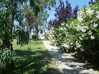 Flowers at Koropi | |
 Koropi | |
| Coordinates: 39°18′N 23°09′E / 39.300°N 23.150°E | |
| Country | Greece |
| Administrative region | Thessaly |
| Regional unit | Magnesia |
| Municipality | South Pelion |
| Municipal unit | Milies |
| Community | Milies |
| Population (2021)[1] | |
• Total | 288 |
| Time zone | UTC+2 (EET) |
| • Summer (DST) | UTC+3 (EEST) |
| Vehicle registration | ΒΟ |
Koropi (Greek: Κορόπη, before 1927: Μπούφα - Boufa[2]) is a village in the municipal unit of Milies, Magnesia regional unit, Greece. Koropi is situated on the Pelion peninsula, on the coast of the Pagasetic Gulf. Koropi is 2 km southeast of Kala Nera, 4 km east of Milies and 19 km southeast of Volos. The name Koropi was taken from the ancient city Korope, which dates from the 8th century BC. It was a small city that had a Temple of Apollo.
Population
| Year | Population |
|---|---|
| 1991 | 281 |
| 1991 | 269 |
| 2001 | 398 |
| 2011 | 246 |
| 2021 | 288 |
See also
References
- ^ "Αποτελέσματα Απογραφής Πληθυσμού - Κατοικιών 2021, Μόνιμος Πληθυσμός κατά οικισμό" [Results of the 2021 Population - Housing Census, Permanent population by settlement] (in Greek). Hellenic Statistical Authority. 29 March 2024.
- ^ Name changes of settlements in Greece