Kothurne
Kothurne | |
|---|---|
Village | |
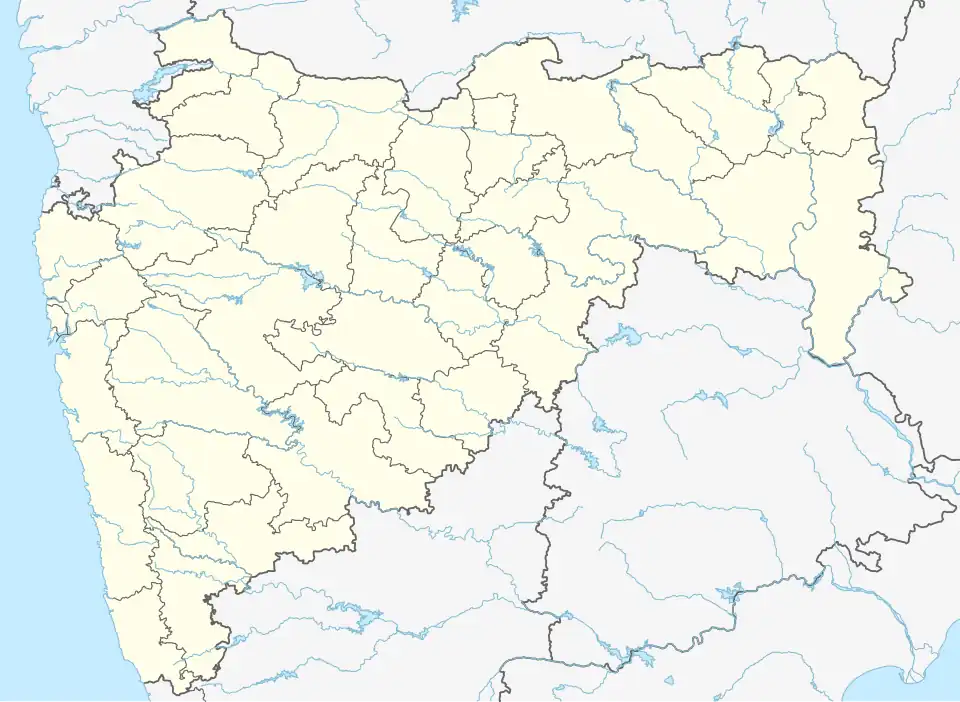 Kothurne Location in Maharashtra, India  Kothurne Kothurne (India) | |
| Coordinates: 18°40′21″N 73°30′13″E / 18.6723994°N 73.5035026°E | |
| Country | |
| State | Maharashtra |
| District | Pune |
| Tehsil | Mawal |
| Government | |
| • Type | Panchayati Raj |
| • Body | Gram panchayat |
| Area | |
• Total | 353.70 ha (874.01 acres) |
| Population (2011) | |
• Total | 1,343 |
| • Density | 380/km2 (980/sq mi) |
| Sex ratio 699/644 ♂/♀ | |
| Languages | |
| • Official | Marathi |
| • Other spoken | Hindi |
| Time zone | UTC+5:30 (IST) |
| Pin code | 410405 |
| Telephone code | 02114 |
| ISO 3166 code | IN-MH |
| Vehicle registration | MH-14 |
| Website | pune |
Kothurne is a village and gram panchayat in India, situated in Mawal taluka of Pune district in the state of Maharashtra, encompasses an area of 353.70 ha (874 acres).[1]
Administration
The village is administrated by a sarpanch, an elected representative who leads a gram panchayat. At the time of the 2011 Census of India, the village was a self-contained gram panchayat, meaning that there were no other constituent villages governed by the body.[2]
Demographics
At the 2011 census, the village comprised 239 households. The population of 1343 was split between 699 males and 644 females.[1]
Air travel connectivity
The closest airport to the village is Pune Airport.
See also
References
- ^ a b "Census of India 2011: Maharashtra: District Census Handbook Part B: Pune" (PDF). Directorate of Census Operations. p. 414. Archived from the original (PDF) on 11 March 2016. Retrieved 19 May 2019.
- ^ "Census of India 2011: Maharashtra: District Census Handbook Part A: Pune" (PDF). Directorate of Census Operations. p. 1200. Archived from the original (PDF) on 11 April 2019. Retrieved 23 May 2019.