Krakauschatten
Krakauschatten | |
|---|---|
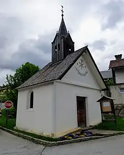 Chapel in Krakauschatten | |
 Coat of arms | |
 Krakauschatten Location within Austria | |
| Coordinates: 47°10′48″N 13°58′12″E / 47.18000°N 13.97000°E | |
| Country | Austria |
| State | Styria |
| District | Murau |
| Area | |
• Total | 13.02 km2 (5.03 sq mi) |
| Elevation | 1,124 m (3,688 ft) |
| Population (1 January 2016)[1] | |
• Total | 317 |
| • Density | 24/km2 (63/sq mi) |
| Time zone | UTC+1 (CET) |
| • Summer (DST) | UTC+2 (CEST) |
| Postal code | 8854, 8820, 8822 |
| Area code | 03535 |
| Vehicle registration | MU |
| Website | www.krakauschatten.at |
Krakauschatten is a former municipality in the district of Murau in Styria, Austria. Since the 2015 Styria municipal structural reform, it is part of the municipality Krakau.[2]
Geography
Krakauschatten lies on a high plateau in the south of the Schladming Tauern.
References