Kronburg
Kronburg | |
|---|---|
.jpg) Catholic Church | |
 Coat of arms | |
Location of Kronburg within Unterallgäu district 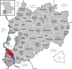 | |
 Kronburg  Kronburg | |
| Coordinates: 47°55′N 10°10′E / 47.917°N 10.167°E | |
| Country | Germany |
| State | Bavaria |
| Admin. region | Schwaben |
| District | Unterallgäu |
| Municipal assoc. | Illerwinkel |
| Government | |
| • Mayor (2020–26) | Hermann Gromer[1] (FW) |
| Area | |
• Total | 20.19 km2 (7.80 sq mi) |
| Elevation | 744 m (2,441 ft) |
| Population (2024-12-31)[2] | |
• Total | 1,772 |
| • Density | 88/km2 (230/sq mi) |
| Time zone | UTC+01:00 (CET) |
| • Summer (DST) | UTC+02:00 (CEST) |
| Postal codes | 87758 |
| Dialling codes | 08394 |
| Vehicle registration | MN |
| Website | www.illerbeuren.de |
Kronburg is a municipality in the district of Unterallgäu in Bavaria, Germany.
References
- ^ Liste der ersten Bürgermeister/Oberbürgermeister in kreisangehörigen Gemeinden, Bayerisches Landesamt für Statistik, 15 July 2021.
- ^ "Gemeinden, Kreise und Regierungsbezirke in Bayern, Einwohnerzahlen am 31. Dezember 2024; Basis Zensus 2022" [Municipalities, counties, and administrative districts in Bavaria; Based on the 2022 Census] (CSV) (in German). Bayerisches Landesamt für Statistik.