Kuntur Ikiña (Sajama)
| Kuntur Ikiña | |
|---|---|
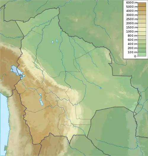 Kuntur Ikiña Location in Bolivia | |
| Highest point | |
| Elevation | 5,044 m (16,549 ft)[1] |
| Coordinates | 18°20′25″S 69°00′15″W / 18.34028°S 69.00417°W |
| Geography | |
| Location | Bolivia, Oruro Department, Sajama Province, Turco Municipality |
| Parent range | Andes, Cordillera Occidental |
Kuntur Ikiña (Aymara kunturi condor,[2] ikiña to sleep, bed or blanket,[3] "bed of the condor" or "resting place of the condor", Hispanicized spelling Condor Iquiña) is a 5,044-metre-high (16,549 ft) mountain in the Andes located in the Cordillera Occidental of Bolivia. It is situated in the Oruro Department, Sajama Province, Turco Municipality, north-east of Umurata[4] and south of the Bolivian Route 4 that leads to Tambo Quemado on the border with Chile.
See also
References
- ^ Bolivian IGM map 1:50,000 Nevado Quimsachata Hoja 5738-I
- ^ Yatiqirinaka Aru Pirwa, Lima, 2005 (Aymara-Spanish dictionary)
- ^ www.katari.org Aymara-Spanish dictionary
- ^ "Turco". Archived from the original on March 3, 2016. Retrieved September 18, 2014. (unnamed)