Kurtköy (Istanbul Metro)
Kurtköy | |||||||||||
|---|---|---|---|---|---|---|---|---|---|---|---|
| Istanbul Metro rapid transit station | |||||||||||
 | |||||||||||
| General information | |||||||||||
| Location | Kurtköy Neighborhood, Ankara Street, 34912 Pendik, Istanbul Turkey | ||||||||||
| Coordinates | 40°54′34″N 29°17′46″E / 40.909444°N 29.296111°E | ||||||||||
| Owned by | Istanbul Metropolitan Municipality | ||||||||||
| Line(s) | |||||||||||
| Platforms | 1 Island platform | ||||||||||
| Tracks | 2 | ||||||||||
| Connections | |||||||||||
| Construction | |||||||||||
| Structure type | Underground | ||||||||||
| Parking | No | ||||||||||
| Bicycle facilities | Yes | ||||||||||
| Accessible | Yes | ||||||||||
| History | |||||||||||
| Opened | 2 October 2022[1] | ||||||||||
| Electrified | 1,500 V DC Overhead line | ||||||||||
| Services | |||||||||||
| |||||||||||
| |||||||||||
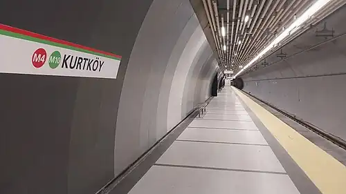
Kurtköy is an underground rapid transit station on the M4 line of the Istanbul Metro.[2] It is located on Ankara Street in the Kurtköy neighborhood of Pendik. It was opened on 2 October 2022 with the extension of M4 line from Tavşantepe to Sabiha Gökçen Airport.[1]
Layout
| Westbound | ← | |
| Island platform, doors will open on the left | ||
| Eastbound | ||
References
- ^ a b "M4 Kadıköy-Sabiha Gökçen Havalimanı Metro Line" (in Turkish). Metro Istanbul. Archived from the original on 2024-02-09. Retrieved 2024-02-09.
- ^ "Istanbul Metro Map" (PDF). Metro Istanbul. 2023-08-01. Retrieved 2024-02-09.