Kylstad
Kylstad
Kylstadfeltet | |
|---|---|
Village | |
 Kylstad 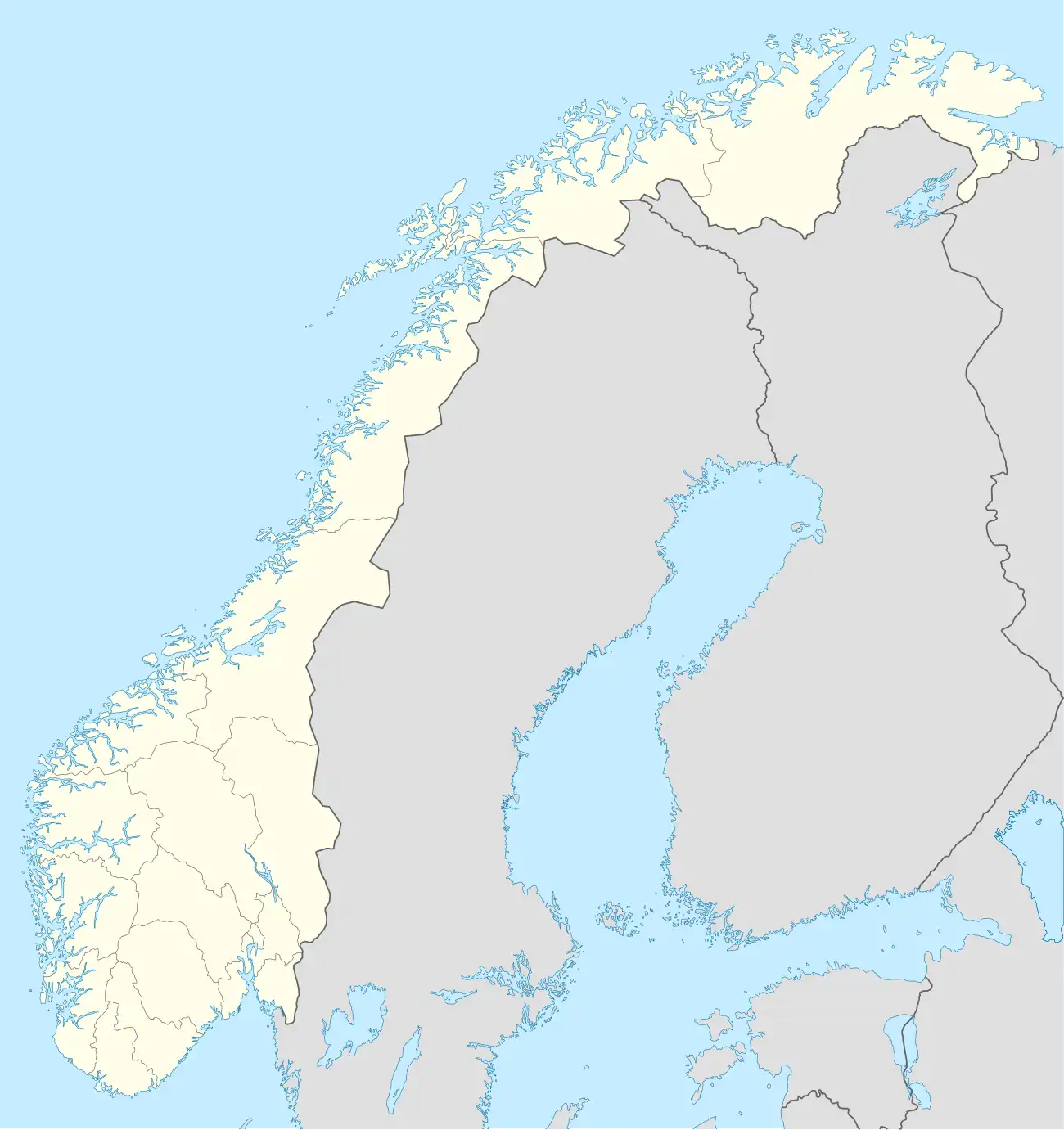 Kylstad | |
| Coordinates: 60°52′12″N 11°02′24″E / 60.86987°N 11.03991°E | |
| Country | Norway |
| Region | Eastern Norway |
| County | Innlandet |
| District | Hedmarken |
| Municipality | Ringsaker Municipality |
| Area | |
• Total | 0.28 km2 (0.11 sq mi) |
| Elevation | 259 m (850 ft) |
| Population (2024)[1] | |
• Total | 397 |
| • Density | 1,418/km2 (3,670/sq mi) |
| Time zone | UTC+01:00 (CET) |
| • Summer (DST) | UTC+02:00 (CEST) |
| Post Code | 2320 Furnes |
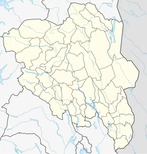
Kylstad[1] or Kylstadfeltet[3] is a village in Ringsaker Municipality in Innlandet county, Norway. The village is located about 6 kilometres (4 mi) east of the town of Brumunddal and about 3 kilometres (1.9 mi) north of the village of Nydal.[4]
The 0.28-square-kilometre (69-acre) town has a population (2024) of 397 and a population density of 1,418 inhabitants per square kilometre (3,670/sq mi).[1]
References
- ^ a b c d Statistisk sentralbyrå (1 October 2024). "Urban settlements. Population and area, by municipality".
- ^ "Kylstadfeltet, Ringsaker". yr.no. Retrieved 3 April 2022.
- ^ "Informasjon om stadnamn". Norgeskart (in Norwegian). Kartverket. Retrieved 9 July 2025.
- ^ Mæhlum, Lars, ed. (26 November 2024). "Kylstad". Store norske leksikon (in Norwegian). Foreningen Store norske leksikon. Retrieved 9 July 2025.