Kyondoe
Kyondoe
ကျုံဒိုးမြို့ | |
|---|---|
 | |
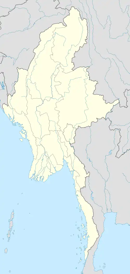 Kyondoe Location within Myanmar (Burma) | |
| Coordinates: 16°35′40″N 98°02′37″E / 16.594461°N 98.043526°E | |
| Country | |
| State | |
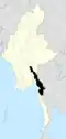
| District | Kawkareik District |
| Township | Kawkareik Township |
| Time zone | UTC+6:30 (MST) |
| Area code | 58[1] |
Kyondoe (Burmese: ကျုံဒိုး) is a town located within the Kawkareik District of Kayin State, Myanmar.[2] It is located on the India–Myanmar–Thailand Trilateral Highway and eastern bank of Haungtharaw River.
References
- ^ "Myanmar Area Codes". Archived from the original on 2009-12-01. Retrieved 2009-04-10.
- ^ "Township map of Kawkareik District" (PDF). Myanmar Information Management Unit (MIMU). 3 May 2016. Archived from the original (PDF) on 13 August 2016. Retrieved 22 November 2017.
Capital: Hpa-an | ||
| Hpa-an District |
|  |
| Hpapun District |
| |
| Thandaunggyi District |
| |
| Kawkareik District | ||
| Kyain Seikgyi District |
| |
| Myawaddy District |
| |
| Cities and towns | ||