Kyoto Tamba Kogen Quasi-National Park
| Kyoto Tamba Kogen Quasi-National Park | |
|---|---|
| 京都丹波高原国定公園 | |
 | |
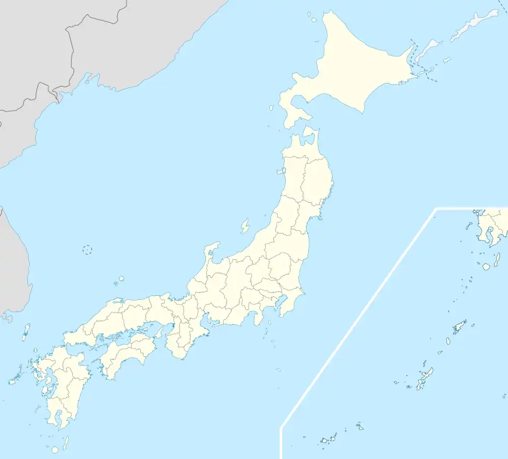 Map of Japan | |
| Location | Kansai, Japan |
| Nearest city | Nantan, Kyoto |
| Coordinates | 35°18′50″N 135°37′20″E / 35.31389°N 135.62222°E |
| Area | 688.51 km2 |
| Established | 25 March 2016 |
| Administrator | Kyoto Prefecture, Japan |
| Website | http://www.pref.kyoto.jp/shizen-koen/tamba.html |
Kyoto Tamba Kogen Quasi-National Park (京都丹波高原国定公園, Kyōto Tanba Kōgen Kokutei Kōen) is a Quasi-National Park in Kyoto Prefecture, Japan.
Administration
Like all quasi-national parks in Japan, the park is managed by the local prefectural governments.[1] Kyoto Tamba Kogen Quasi-National Park is administered by Kyoto Prefecture.
Gallery
-
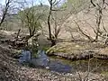
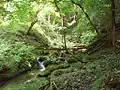 Akasaki-higashitani valley, tributary of Yura river (Asiu Forest, Field Science Education and Research Center, Kyoto University)
 -
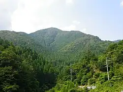
 Mt. Choro-ga-take
 -
 Haccho-Daira Wetland
 -
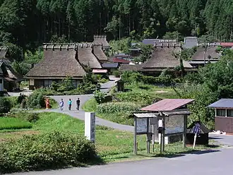
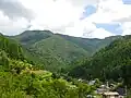
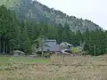
 Oku-kambayashi, Koya, Ayabe, Kyoto
 -
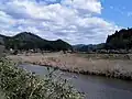
 Kaminocho, Kuta, Kyoto
 -
 Mt. Minago
 -
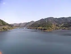 Amawaka Lake
 -
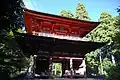 Komyo-ji Temple
 -
 Saba-kaido Road
See also
Wikimedia Commons has media related to Kyoto Tamba Kogen Quasi-National Park.
References
- ^ "Definition of National Park : History and Organization". National Parks of Japan. Ministry of the Environment Government of Japan. Retrieved 25 June 2016.
- 京都丹波高原国定公園 Kyoto Tamba Kogen Quasi-National Park
- "Annual Report on the Environment, the Sound Material-Cycle Society and Biodiversity in Japan 2016" (PDF) (in Japanese). Ministry of the Environment Government of Japan. pp. 150, 151.