La Bréole
La Bréole | |
|---|---|
Part of Ubaye-Serre-Ponçon | |
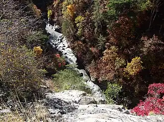 The gorge in La Bréole | |
 Coat of arms | |
Location of La Bréole | |
 La Bréole 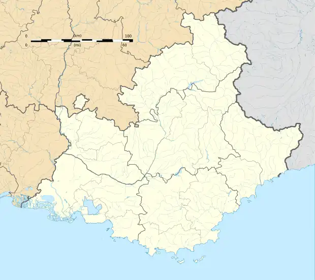 La Bréole | |
| Coordinates: 44°27′27″N 6°17′43″E / 44.4575°N 6.2953°E | |
| Country | France |
| Region | Provence-Alpes-Côte d'Azur |
| Department | Alpes-de-Haute-Provence |
| Arrondissement | Barcelonnette |
| Canton | Barcelonnette |
| Commune | Ubaye-Serre-Ponçon |
Area 1 | 39.66 km2 (15.31 sq mi) |
| Population (2021)[1] | 395 |
| • Density | 10.0/km2 (26/sq mi) |
| Time zone | UTC+01:00 (CET) |
| • Summer (DST) | UTC+02:00 (CEST) |
| Postal code | 04340 |
| Elevation | 650–1,590 m (2,130–5,220 ft) (avg. 998 m or 3,274 ft) |
| 1 French Land Register data, which excludes lakes, ponds, glaciers > 1 km2 (0.386 sq mi or 247 acres) and river estuaries. | |
La Bréole (French pronunciation: [la bʁeɔl]; Vivaro-Alpine: La Breula) is a former commune in the Alpes-de-Haute-Provence department in southeastern France. On 1 January 2017, it was merged into the new commune Ubaye-Serre-Ponçon.[2]
Population
| Year | Pop. | ±% p.a. |
|---|---|---|
| 2006 | 342 | — |
| 2011 | 394 | +2.87% |
| 2021 | 395 | +0.03% |
| Source: INSEE[3][1] | ||
See also
References
- ^ a b "Populations légales 2021" [Legal populations 2021] (PDF) (in French). INSEE. December 2023.
- ^ Arrêté préfectoral 16 December 2016 (in French)
- ^ Populations légales 2011, INSEE
Wikimedia Commons has media related to La Bréole.