La Cumplida Airport
La Cumplida Airport | |||||||||||
|---|---|---|---|---|---|---|---|---|---|---|---|
| Summary | |||||||||||
| Airport type | Public | ||||||||||
| Serves | La Cumplida | ||||||||||
| Elevation AMSL | 2,420 ft / 738 m | ||||||||||
| Coordinates | 12°59′45″N 85°51′10″W / 12.99583°N 85.85278°W | ||||||||||
| Map | |||||||||||
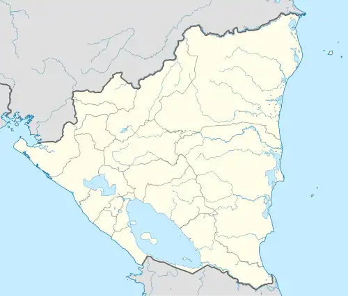 MNMT Location of the airport in Nicaragua | |||||||||||
| Runways | |||||||||||
| |||||||||||
Sources: Google Maps[1] | |||||||||||
La Cumplida Airport (ICAO: MNMT) is an airport serving the village of La Cumplida in Matagalpa Department, Nicaragua.
The airport is in a basin with rising terrain in all quadrants, and a nearby mountain ridge to the west. The lowest terrain is to the east of the runway.
The Managua VOR-DME (Ident: MGA) is located 54.1 nautical miles (100 km) south-southwest of the airport.[2]
See also
References
- ^ Google Maps - La Cumplida
- ^ "Managua VOR". Our Airports. Archived from the original on 4 January 2019. Retrieved 12 January 2019.
External links