La Iruela
La Iruela, Spain | |
|---|---|
town | |
.jpg) | |
.svg.png) Flag .svg.png) Coat of arms | |
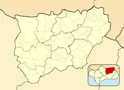 La Iruela Location in the Province of Jaén 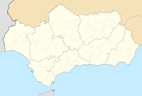 La Iruela La Iruela (Andalusia) 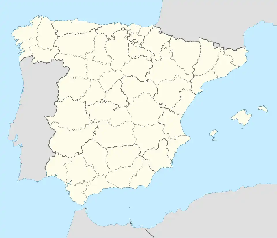 La Iruela La Iruela (Spain) | |
| Coordinates: 37°55′N 3°00′W / 37.917°N 3.000°W | |
| Country | |
| Autonomous community | |
| Province | |
| Municipality | La Iruela |
| Area | |
• Total | 124 km2 (48 sq mi) |
| Elevation | 954 m (3,130 ft) |
| Population (2018)[1] | |
• Total | 1,935 |
| • Density | 16/km2 (40/sq mi) |
| Time zone | UTC+1 (CET) |
| • Summer (DST) | UTC+2 (CEST) |
| Website | https://www.lairuela.com/ |
La Iruela is a town located in the province of Jaén, Andalusia, Spain. It sits on a peak of the Sierra de Cazorla and is home to the ruins of an 11th-century Moorish, and later Templar,[2] fortress which towers over the road from Cazorla to the Sierras de Cazorla, Segura y Las Villas Natural Park.[3] According to the 2005 census (INE), the city has a population of 1894 inhabitants.
See also
References
- ^ Municipal Register of Spain 2018. National Statistics Institute.
- ^ Templespaña (2012). Gran Guía de la España Templaria. Aguilar. ISBN 978-8403098114.
- ^ Ruiz, Ana (2007). Vibrant Andalusia: The Spice of Life in Southern Spain. Algora Publishing. p. 134. ISBN 978-0875865409.
Wikimedia Commons has media related to La Iruela.