La Paz, Colonia
La Paz | |
|---|---|
Village | |
 La Paz Location in Uruguay | |
| Coordinates: 34°21′0″S 57°18′0″W / 34.35000°S 57.30000°W | |
| Country | |
| Department | Colonia Department |
| Population (2011) | |
• Total | 603 |
| Time zone | UTC -3 |
| Postal code | 70203 |
| Dial plan | +598 455 (+5 digits) |
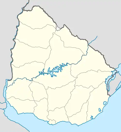
La Paz is a village in the Colonia Department of southwestern Uruguay.
Geography
The village is located on Route 52, 2.5 kilometres (1.6 mi) south of Route 1. It is about 5 kilometres (3.1 mi) southwest of Colonia Valdense and 9 kilometres (5.6 mi) southwest of Nueva Helvecia.
History
This village was established in 1858 as a Waldensian colony.[1]
Population
In 2011 La Paz had a population of 603.[2]
| Year | Population |
|---|---|
| 1963 | 535 |
| 1975 | 542 |
| 1985 | 544 |
| 1996 | 644 |
| 2004 | 653 |
| 2011 | 603 |
Source: Instituto Nacional de Estadística de Uruguay[3]
Places of worship
- Waldensian Evangelical Church (Waldensians)[1]
- Holy Cross Chapel (Roman Catholic)[1]
References
- ^ a b c Colonia Valdense (in Spanish)
- ^ "Censos 2011 Colonia (needs flash plugin)". ΙΝΕ. 2012. Archived from the original on 1 September 2012. Retrieved 30 August 2012.
- ^ "1963–1996 Statistics / L". Instituto Nacional de Estadística de Uruguay. 2004. Archived from the original (DOC) on 29 November 2011. Retrieved 2 July 2011.
External links
Capital: Colonia del Sacramento | ||
| Towns and villages | 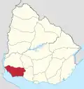 | |
| Sights | ||