La Vina, California
La Vina | |
|---|---|
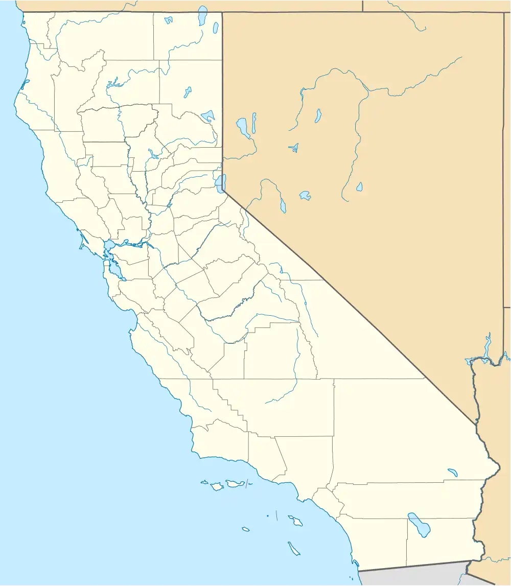
 Location in Madera County, California | |
 La Vina | |
| Coordinates: 36°52′50″N 120°06′38″W / 36.88056°N 120.11056°W | |
| Country | |
| State | |
| County | Madera |
| Area | |
• Total | 0.101 sq mi (0.261 km2) |
| • Land | 0.101 sq mi (0.261 km2) |
| • Water | 0 sq mi (0 km2) 0% |
| Elevation | 230 ft (70 m) |
| Population (2020)[3] | |
• Total | 637 |
| • Density | 6,300/sq mi (2,400/km2) |
| Time zone | UTC-8 (Pacific (PST)) |
| • Summer (DST) | UTC-7 (PDT) |
| ZIP Code | 93637 (Madera) |
| GNIS feature IDs | 226721;[2] 2628749[4] |
| FIPS Code | 06-40872 |
La Vina (Spanish: La Viña, meaning "The Vine") is a census-designated place[4] in Madera County, California, United States.[2] It is located 8 miles (13 km) by road south-southwest of Madera,[5] at an elevation of 230 feet (70 m).[2] The population was 637 at the 2020 census,[3] up from 279 in 2010.
A post office operated at La Vina from 1891 to 1895.[5]
Geography
According to the United States Census Bureau, the CDP has a total area of 0.1 square miles (0.3 km2), all of it land.[1]
Demographics
| Census | Pop. | Note | %± |
|---|---|---|---|
| 2010 | 279 | — | |
| 2020 | 637 | 128.3% | |
| U.S. Decennial Census[6] 2010[7] | |||
La Vina first appeared as a census designated place in the 2010 U.S. Census.[7]
The 2020 United States census reported that La Vina had a population of 637. The population density was 6,306.9 inhabitants per square mile (2,435.1/km2). The racial makeup of La Vina was 172 (27.0%) White, 3 (0.5%) African American, 41 (6.4%) Native American, 0 (0.0%) Asian, 0 (0.0%) Pacific Islander, 306 (48.0%) from other races, and 115 (18.1%) from two or more races. Hispanic or Latino of any race were 590 persons (92.6%).[8]
The whole population lived in households. There were 153 households, out of which 82 (53.6%) had children under the age of 18 living in them, 87 (56.9%) were married-couple households, 13 (8.5%) were cohabiting couple households, 30 (19.6%) had a female householder with no partner present, and 23 (15.0%) had a male householder with no partner present. 11 households (7.2%) were one person, and 5 (3.3%) were one person aged 65 or older. The average household size was 4.16.[8] There were 131 families (85.6% of all households).[9]
The age distribution was 206 people (32.3%) under the age of 18, 73 people (11.5%) aged 18 to 24, 139 people (21.8%) aged 25 to 44, 154 people (24.2%) aged 45 to 64, and 65 people (10.2%) who were 65 years of age or older. The median age was 29.1 years. For every 100 females, there were 113.0 males.[8]
There were 161 housing units at an average density of 1,594.1 units per square mile (615.5 units/km2), of which 153 (95.0%) were occupied. Of these, 53 (34.6%) were owner-occupied, and 100 (65.4%) were occupied by renters.[8]
References
- ^ a b "2021 U.S. Gazetteer Files: California". United States Census Bureau. Retrieved June 27, 2022.
- ^ a b c d U.S. Geological Survey Geographic Names Information System: La Vina, California
- ^ a b "P1. Race – La Vina CDP, California: 2020 DEC Redistricting Data (PL 94-171)". U.S. Census Bureau. Retrieved June 27, 2022.
- ^ a b U.S. Geological Survey Geographic Names Information System: La Vina Census Designated Place
- ^ a b Durham, David L. (1998). California's Geographic Names: A Gazetteer of Historic and Modern Names of the State. Clovis, California: Word Dancer Press. p. 792. ISBN 1-884995-14-4.
- ^ "Census of Population and Housing". Census.gov. Retrieved June 4, 2016.
- ^ a b "2010 Census of Population - Population and Housing Unit Counts - California" (PDF). United States Census Bureau.
- ^ a b c d "La Vina CDP, California; DP1: Profile of General Population and Housing Characteristics - 2020 Census of Population and Housing". US Census Bureau. Retrieved May 24, 2025.
- ^ "La Vina CDP, California; P16: Household Type - 2020 Census of Population and Housing". US Census Bureau. Retrieved May 24, 2025.
Municipalities and communities of Madera County, California, United States | ||
|---|---|---|
| Cities |  | |
| CDPs | ||
| Other unincorporated communities | ||
| Indian reservations | ||
| Ghost towns | ||
| Mining areas | ||