Lac-Juillet
Lac-Juillet | |
|---|---|
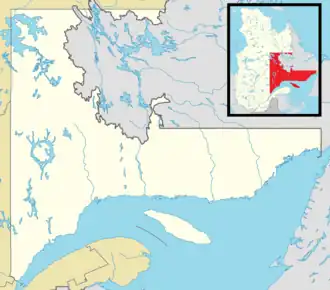 Lac-Juillet Location in Côte-Nord Region of Quebec | |
| Coordinates: 54°47′N 64°00′W / 54.783°N 64.000°W[1] | |
| Country | Canada |
| Province | Quebec |
| Region | Côte-Nord |
| RCM | Caniapiscau |
| Constituted | January 1, 1986 |
| Government | |
| • Federal riding | Côte-Nord—Kawawachikamach—Nitassinan |
| • Prov. riding | Duplessis |
| Area | |
• Total | 3,595.81 km2 (1,388.35 sq mi) |
| • Land | 2,865.50 km2 (1,106.38 sq mi) |
| Population | |
• Total | 0 |
| • Density | 0.0/km2 (0/sq mi) |
| • Pop (2016-21) | |
| • Dwellings | 0 |
| Time zone | UTC-5 (EST) |
| • Summer (DST) | UTC-4 (EDT) |
| Highways | No major routes |
Lac-Juillet (French pronunciation: [lak ʒɥijɛ]) is an unorganized territory in the Côte-Nord region of Quebec, Canada, part of Caniapiscau Regional County Municipality.
The eponymous Lake Juillet (54°47′55″N 64°00′31″W / 54.79861°N 64.00861°W) is located in the eastern part of the territory and was named after Blaise Juillet Avignon, a companion of Adam Dollard des Ormeaux, who drowned on April 19, 1660, near Nuns' Island.[4]
Demographics
|
| |||||||||||||||||||||||||||
| Source: Statistics Canada[5] | ||||||||||||||||||||||||||||
References
- ^ "Banque de noms de lieux du Québec: Reference number 149774". toponymie.gouv.qc.ca (in French). Commission de toponymie du Québec.
- ^ a b "Répertoire des municipalités: Geographic code 97912". www.mamh.gouv.qc.ca (in French). Ministère des Affaires municipales et de l'Habitation. Retrieved 2024-05-01.
- ^ a b "Lac-Juillet (Code 2497912) Census Profile". 2021 census. Government of Canada - Statistics Canada. Retrieved 2024-05-01.
- ^ "Lac Juillet" (in French). Commission de toponymie du Québec. Retrieved 2010-10-10.
- ^ 1996, 2001, 2006, 2011, 2016, 2021 census
Places adjacent to Lac-Juillet | ||||||||||||||||
|---|---|---|---|---|---|---|---|---|---|---|---|---|---|---|---|---|
| ||||||||||||||||
| Cities & towns | |
|---|---|
| Unorganized territories | |
| Native reserves (unassociated with RCM) |
|
| Naskapi reserve land (unassociated with RCM) | |
| |