Lafayette Municipal Airport (Tennessee)
Lafayette Municipal Airport | |||||||||||
|---|---|---|---|---|---|---|---|---|---|---|---|
| Summary | |||||||||||
| Airport type | Public | ||||||||||
| Owner | City of Lafayette | ||||||||||
| Serves | Lafayette, Tennessee | ||||||||||
| Elevation AMSL | 969 ft / 295 m | ||||||||||
| Coordinates | 36°31′12″N 086°03′29″W / 36.52000°N 86.05806°W | ||||||||||
| Map | |||||||||||
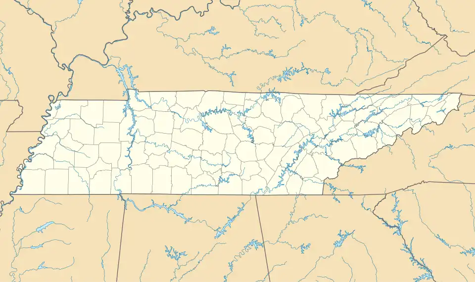 3M7 Location of airport in Tennessee  3M7 3M7 (the United States) | |||||||||||
| Runways | |||||||||||
| |||||||||||
| Statistics (2018) | |||||||||||
| |||||||||||
Source: [1] | |||||||||||
Lafayette Municipal Airport (FAA LID: 3M7) is a city-owned, public-use airport located two nautical miles (3 km) west of the central business district of Lafayette, in Macon County, Tennessee, United States.[1]
Facilities
Lafayette Municipal Airport covers an area of 111 acres (45 ha) at an elevation of 969 feet (295m) above mean sea level. It has one runway designated 01/19 with an asphalt surface measuring 5,200 by 75 feet (1,585 x 23 m).[1][2]
See also
References
- ^ "Lafayette Muni". Airport IQ. Archived from the original on Aug 7, 2016. Retrieved 14 July 2019.