Achit Lake
| Achit Lake ᠠᠴᠢᠲᠤ ᠨᠠᠭᠤᠷ | |
|---|---|
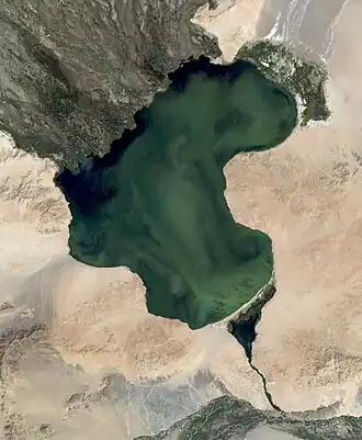 Achit Lake satellite image (Landsat-7, 2007-08-13) | |
 Achit Lake ᠠᠴᠢᠲᠤ ᠨᠠᠭᠤᠷ | |
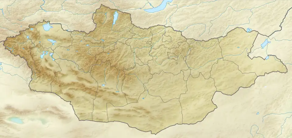
| Location | Uvs Aimag |
| Coordinates | 49°30′N 90°30′E / 49.500°N 90.500°E |
| Basin countries | Mongolia |
| Max. length | 28 km (17 mi) |
| Max. width | 16 km (9.9 mi) |
| Surface area | 290 km2 (110 sq mi) |
| Surface elevation | 1,435 m (4,708 ft) |
| Official name | Lake Achit and its surrounding wetlands |
| Designated | 22 March 2004 |
| Reference no. | 1376[1] |
Achit Lake (/ˈætʃɪt/; Mongolian: Ачит нуур [átɕʰɪtʰ nʊ́ːr]) is a freshwater lake in Bayan-Ölgii Province and Uvs Province, Mongolia, in the west of the country. At an elevation of 1,435 m above sea level it covers an area of 290 km2. It is 28 km long, 16 km wide, and 10 m deep. The coast is covered with steppes, mostly hilly but swampy on the northwest and northeast. Several rivers flow into the lake.
See also
References
- ^ "Lake Achit and its surrounding wetlands". Ramsar Sites Information Service. Retrieved 25 April 2018.
External links
Wikimedia Commons has media related to Achit Lake.
- The Annotated Ramsar List: Mongolia
- Big Soviet Encyclopaedia – Russian (АЧИТ-НУР)
- Limnological Catalog of Mongolian Lakes