Lake Wichita
| Lake Wichita | |
|---|---|
.jpg) Lake Wichita | |
 Lake Wichita | |
| Location | Wichita Falls, Texas |
| Coordinates | 33°50′06.09″N 98°33′20.8″W / 33.8350250°N 98.555778°W |
| Type | Artificial lake |
| Part of | Lake Wichita Park |
| River sources | Holliday Creek |
| Basin countries | United States |
| First flooded | 1901 |
| Surface area | 2,200 acres (8.9 km2)[1] |
| Max. depth | 9.5 feet (2.9 m) |
| Water volume | 14,000 acre-feet (17,000,000 m3) |
| Surface elevation | 3,186 ft (971 m)[1] |
| References | GNIS[1] |
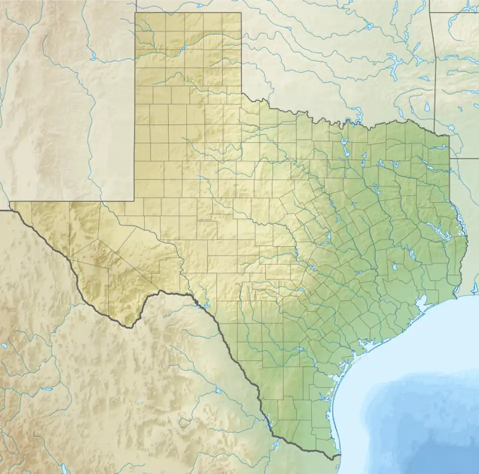
| Location | |
Lake Wichita is a lake located south of Wichita Falls, Texas.[2] The town of Lakeside City is situated on the southern shore.[3]
Lake Wichita Park
Lake Wichita Park, a 234 acres (95 ha) park is situated on the northern shores.[4]
References
- ^ a b c U.S. Geological Survey Geographic Names Information System: Lake Wichita
- ^ "Wichita Reservoir". tpwd.texas.gov. Retrieved 2024-04-27.
- ^ Association, Texas State Historical. "Lake Wichita". Texas State Historical Association. Retrieved 2024-04-27.
- ^ "Lake Wichita Park | Wichita Falls, TX - Official Website". www.wichitafallstx.gov. Retrieved 2024-04-27.