Lamaing, Ye
Lamaing | |
|---|---|
Town | |
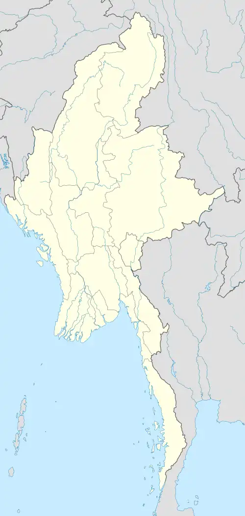 Lamaing Location in Burma | |
| Coordinates: 15°30′08″N 97°50′03″E / 15.50222°N 97.83417°E | |
| Country | |
| State | |
| District | Mawlamyine District |
| Township | Ye Township |
| Elevation | 13 m (43 ft) |
| Population | |
| • Religions | Buddhism |
| Time zone | UTC+6.30 (MST) |
Lamaing (Mon: လၟိုၚ်; Burmese: လမိုင်း)[1] is a town in Mawlamyine District in the Mon State of south-east Myanmar. Lamaing is on the coastal plain about 6 kilometres (3.7 mi) east of Kawdut and 2 kilometres (1.2 mi) west of Mawkanin.[2]
Villages
- Mawkanin
- Thaung Pyin
- KuoungDoung
- Kaut Daught
Notes
- ^ Lamaing (Approved) at GEOnet Names Server, United States National Geospatial-Intelligence Agency
- ^ Burma 1:250,000 topographic map, Series U542, ND 47-02 Ye U.S. Army Map Service, December 1959
External links
- "Lamaing Map — Satellite Images of Lamaing" Maplandia World Gazetteer