Malekoula Airport
Malekoula Airport Lamap Airport | |||||||||||
|---|---|---|---|---|---|---|---|---|---|---|---|
| Summary | |||||||||||
| Airport type | Public | ||||||||||
| Serves | Malekoula, Vanuatu | ||||||||||
| Location | Lamap | ||||||||||
| Elevation AMSL | 7 ft / 2 m | ||||||||||
| Coordinates | 16°27′14″S 167°49′23″E / 16.45389°S 167.82306°E | ||||||||||
| Map | |||||||||||
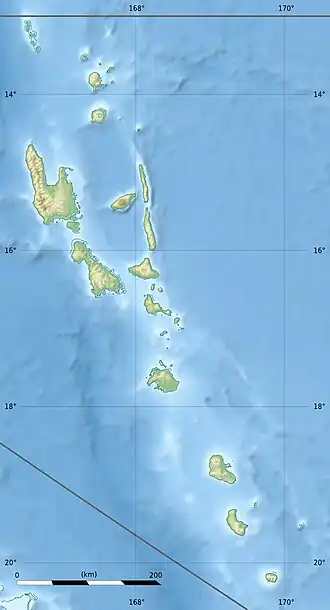 NVSL Location of airport in Vanuatu | |||||||||||
| Runways | |||||||||||
| |||||||||||
Source:[1] | |||||||||||
Malekoula Airport (IATA: LPM, ICAO: NVSL), also known as Lamap Airport, is an airfield near Lamap on the island of Malekoula, in the Malampa province in Vanuatu.[1] It is one of two airfields on the island, the other being Norsup Airport in the north.
Facilities
The airport is at an elevation of 7 feet (2 m) above mean sea level. It has one runway which is 840 metres (2,756 ft) in length.[1]
Airlines and destinations
| Airlines | Destinations |
|---|---|
| Air Vanuatu | Port Vila[2] |
References
- ^ a b c Airport information for Lamap, Malampa, Vanuatu (NVSL / LPM) at Great Circle Mapper.
- ^ "Air Vanuatu Sep 2024 Domestic Operations". Aeroroutes. Retrieved 6 September 2024.
External links