Lamb Creek, Idaho
Lamb Creek, Idaho | |
|---|---|
 Lamb Creek, Idaho  Lamb Creek, Idaho | |
| Coordinates: 48°30′59″N 116°55′39″W / 48.51639°N 116.92750°W | |
| Country | United States |
| State | Idaho |
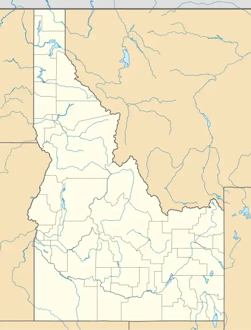
| County | Bonner |
| Elevation | 2,556 ft (779 m) |
| Time zone | UTC-8 (Pacific (PST)) |
| • Summer (DST) | UTC-7 (PDT) |
| Area codes | 208, 986 |
| GNIS feature ID | 396762[1] |
Lamb Creek is an unincorporated community in Bonner County, Idaho, United States. Lamb Creek is located on Idaho State Highway 57 23.2 miles (37.3 km) north of Priest River.
References
Municipalities and communities of Bonner County, Idaho, United States | ||
|---|---|---|
| Cities |  | |
| CDPs | ||
| Other communities | ||