Landa, Álava
Landa | |
|---|---|
 Landa 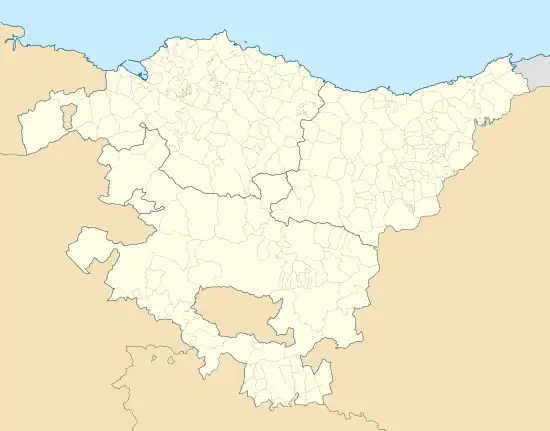 Landa 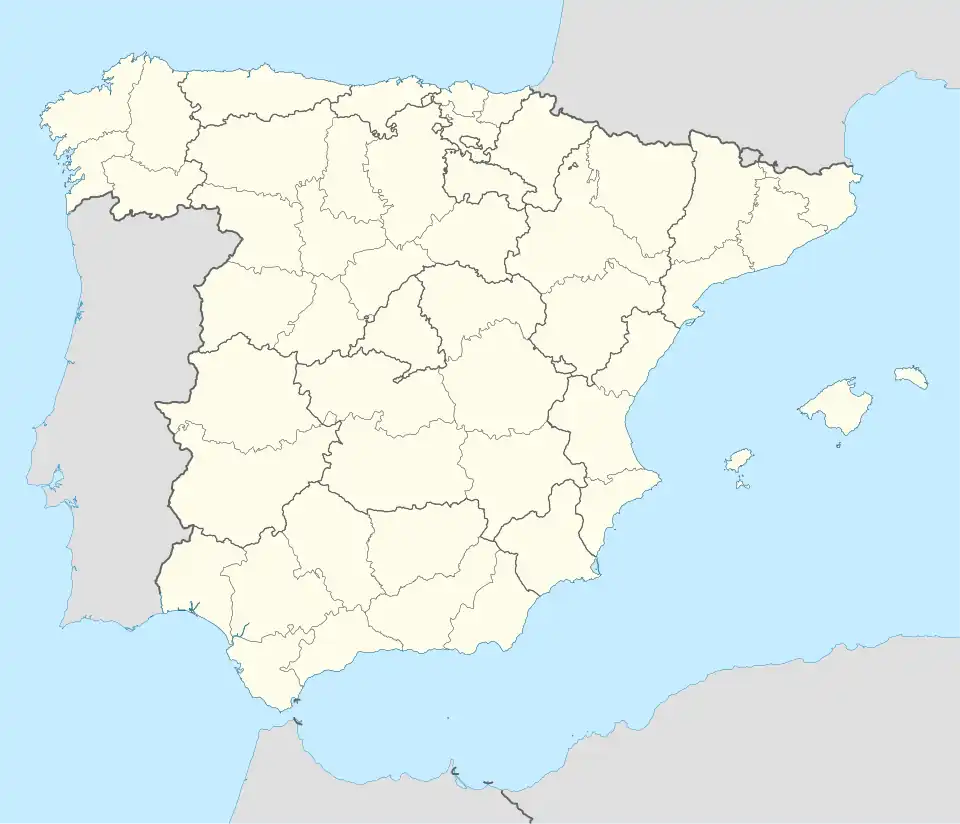 Landa | |
| Coordinates: 42°57′37″N 2°35′25″W / 42.9602068°N 2.5902715°W | |
| Country | Spain |
| Autonomous community | Basque Country |
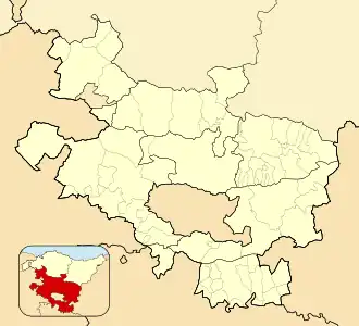
| Province | Álava |
| Comarca | Gorbeialdea |
| Municipality | Arratzua-Ubarrundia |
| Area | |
• Total | 7.62 km2 (2.94 sq mi) |
| Elevation | 555 m (1,821 ft) |
| Population (2023)[2] | |
• Total | 29 |
| • Density | 3.8/km2 (9.9/sq mi) |
| Postal code | 01520 |
Landa is a hamlet and concejo in the municipality of Arratzua-Ubarrundia, in Álava province, Basque Country, Spain.
References
- ^ "Divisiones Administrativas SHP Líneas". GeoAraba. Diputación Foral de Álava. 24 January 2024. Retrieved 15 March 2024.
- ^ "Nomenclátor: Núcleos". Entidades Locales de Álava (in Spanish). Diputación Foral de Álava. 1 January 2023. Retrieved 15 March 2024.
External links
 Media related to Landa (Álava) at Wikimedia Commons