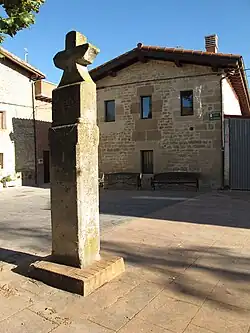
Lantarón
Lantarón | |
|---|---|
Municipality | |
 | |
 Flag  Coat of arms | |
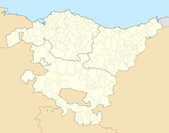 Lantarón Location of Lantarón within the Basque Country 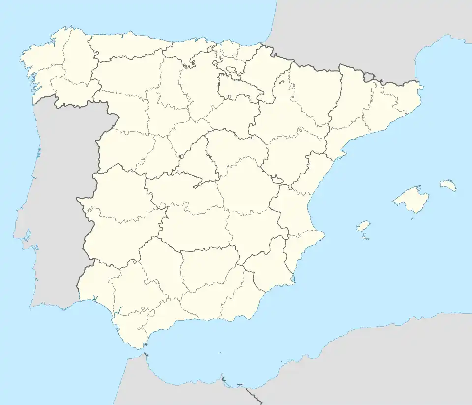 Lantarón Location of Lantarón within Spain | |
| Coordinates: 42°43′N 02°58′W / 42.717°N 2.967°W | |
| Country | |
| Autonomous Community | |
| Province | Álava |
| Comarca | Cuadrilla de Añana |
| Government | |
| • Mayor | Francisco Javier Uriarte Jairo |
| Area | |
• Total | 61.77 km2 (23.85 sq mi) |
| Elevation (AMSL) | 488 m (1,601 ft) |
| Population (2018)[1] | |
• Total | 872 |
| • Density | 14/km2 (37/sq mi) |
| Time zone | UTC+1 (CET) |
| • Summer (DST) | UTC+2 (CEST (GMT +2)) |
| Postal code | 01213 |
| Website | www.lantaron.org/ |
Lantarón is a town and municipality located in the province of Álava, in the Basque Country, northern Spain.
Villages
History
In the Middle Ages, Lantarón was the site of a fortress on the eastern edge of the Kingdom of León. In the ninth and tenth centuries the fortress was commanded by a series of counts, often in conjunction with that of Cerezo: Gonzalo Téllez (897), Munio Vélaz (919), Fernando Díaz (923) and Álvaro Herraméliz (929).
References
- ^ Municipal Register of Spain 2018. National Statistics Institute.