Lanyang River
| Lanyang River | |
|---|---|
 | |
 Lanyang River in Taiwan | |
| Native name | 蘭陽溪 (Chinese) |
| Location | |
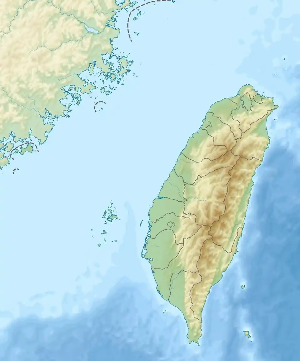
| Country | Taiwan |
| Physical characteristics | |
| Source | |
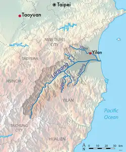
| • location | Nanhu Mountain |
| • elevation | 3,536 m (11,601 ft) |
| Mouth | |
• location | Pacific Ocean: Yilan |
• coordinates | 24°42′54″N 121°50′02″E / 24.715°N 121.834°E |
| Length | 73 km (45 mi) |
| Basin size | 978 km2 (378 sq mi) |
| Discharge | |
| • minimum | 2.85 m3/s |
| • maximum | 5,420 m3/s |
| Basin features | |
| Tributaries | |
| • left | Yilan River |
| • right | Dongshan River |
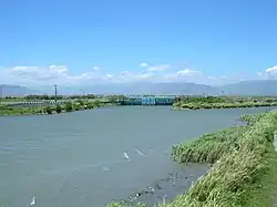
The Lanyang River (Chinese: 蘭陽溪; pinyin: Lányáng Xī) is a river in northeast Taiwan.[1][2]
Geology
The river flows through Yilan County for 73 kilometers. It has a drainage basin area of 978 km2 with maximum peak flow of 5,420 m3/s.[3]
See also
References
- ^ "Geography & demographics". The Republic of China Yearbook 2015. Executive Yuan. 2015. pp. 40–53. ISBN 978-986-04-6013-1. Archived from the original on 2016-05-31. Retrieved 2016-05-01.
- ^ "Geographic Environment: The Main River of Lanyang Plain". Yilan County Government. 11 May 2016. Retrieved 19 June 2016.
- ^ "Lanyang River".
Wikimedia Commons has media related to Lanyang River.