Laredo, Montana
Laredo, Montana | |
|---|---|
 Laredo  Laredo | |
| Coordinates: 48°25′49″N 109°53′10″W / 48.43028°N 109.88611°W | |
| Country | United States |
| State | Montana |
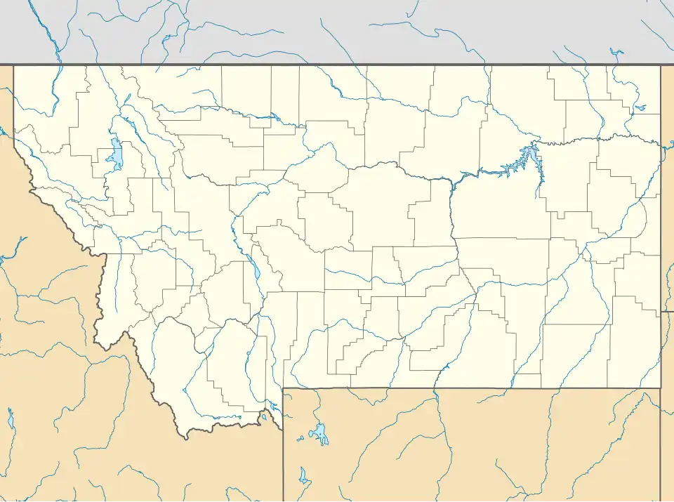
| County | Hill |
| Area | |
• Total | 0.19 sq mi (0.48 km2) |
| • Land | 0.19 sq mi (0.48 km2) |
| • Water | 0.00 sq mi (0.00 km2) |
| Elevation | 2,638 ft (804 m) |
| Population (2020) | |
• Total | 37 |
| • Density | 197.86/sq mi (76.31/km2) |
| Time zone | UTC-7 (Mountain (MST)) |
| • Summer (DST) | UTC-6 (MDT) |
| Area code | 406 |
| FIPS code | 30-42475 |
| GNIS feature ID | 2804299[2] |
Laredo is an unincorporated rural community in Hill County, Montana, United States.[3] The elevation is 2,644 feet. Laredo is located at latitude 48.431 and longitude -109.883. It is located on U.S. Route 87, 13 miles south of Havre.
Demographics
| Census | Pop. | Note | %± |
|---|---|---|---|
| 2020 | 37 | — | |
| U.S. Decennial Census[4] | |||
Notes
- ^ "ArcGIS REST Services Directory". United States Census Bureau. Retrieved September 18, 2022.
- ^ a b U.S. Geological Survey Geographic Names Information System: Laredo, Montana
- ^ "Laredo, Montana". Geographic Names Information System. United States Geological Survey, United States Department of the Interior.
- ^ "Census of Population and Housing". Census.gov. Retrieved June 4, 2016.
Municipalities and communities of Hill County, Montana, United States | ||
|---|---|---|
| City |  | |
| Town | ||
| CDPs | ||
| Indian reservations | ||
| Footnotes | ‡This populated place also has portions in an adjacent county or counties | |