Laurel Branch, West Virginia
Laurel Branch, West Virginia | |
|---|---|
 Laurel Branch, West Virginia  Laurel Branch, West Virginia | |
| Coordinates: 37°31′50″N 80°20′59″W / 37.53056°N 80.34972°W | |
| Country | United States |
| State | West Virginia |
| County | Monroe |
| Elevation | 2,047 ft (624 m) |
| Time zone | UTC-5 (Eastern (EST)) |
| • Summer (DST) | UTC-4 (EDT) |
| Area codes | 304 & 681 |
| GNIS feature ID | 1551697[1] |
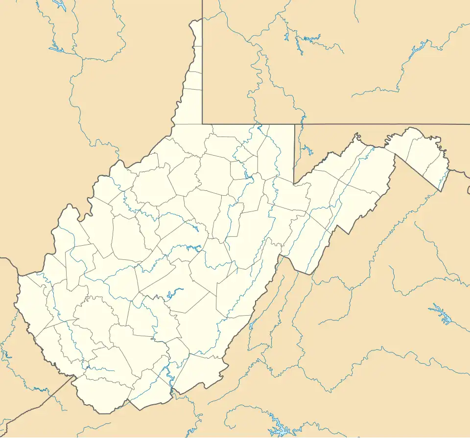
Laurel Branch is an unincorporated community in Monroe County, West Virginia, United States. Laurel Branch is located near the Virginia border, southeast of Union.
References
- ^ "US Board on Geographic Names". United States Geological Survey. October 25, 2007. Retrieved January 31, 2008.
Municipalities and communities of Monroe County, West Virginia, United States | ||
|---|---|---|
| Towns |  | |
| Unincorporated communities |
| |
| Ghost town | ||
| Footnotes | ‡This populated place also has portions in an adjacent county or counties | |