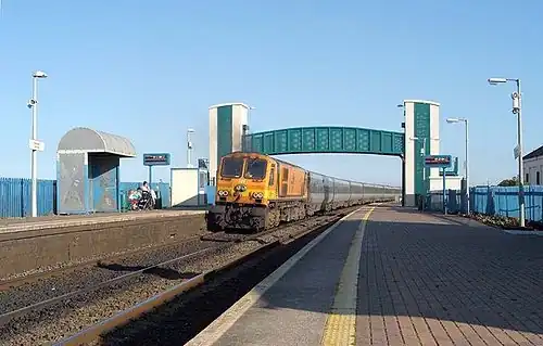
Laytown railway station
Laytown An Inse | |||||||
|---|---|---|---|---|---|---|---|
 | |||||||
| General information | |||||||
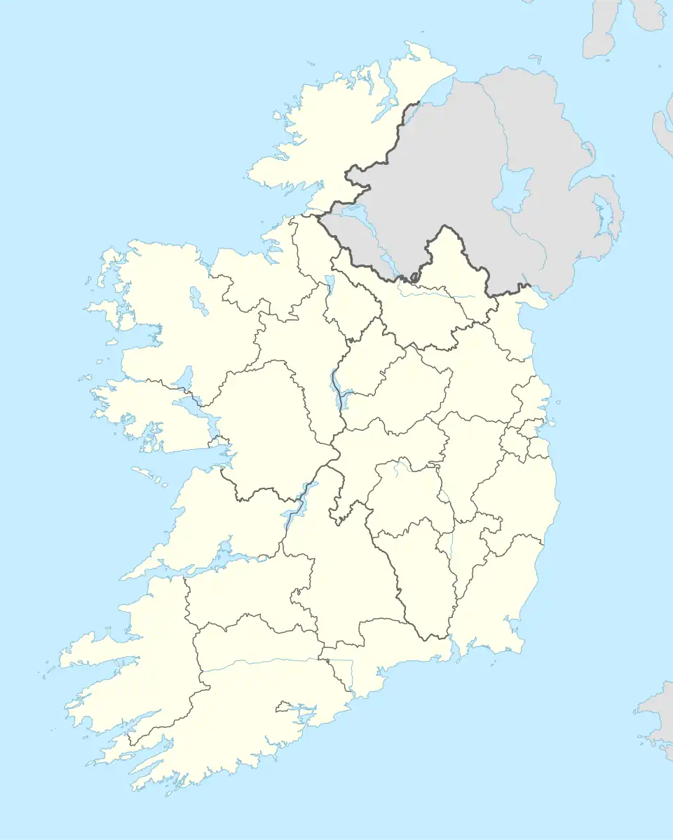
| Location | Laytown, County Meath, A92 H102 Ireland | ||||||
| Coordinates | 53°40′44″N 6°14′32″W / 53.6790°N 6.2423°W | ||||||
| Operated by | Iarnród Éireann | ||||||
| Platforms | 2 | ||||||
| Tracks | 2 | ||||||
| Construction | |||||||
| Structure type | At-grade | ||||||
| Other information | |||||||
| Station code | LTOWN | ||||||
| Fare zone | C | ||||||
| Key dates | |||||||
| 1844 | Station opened | ||||||
| |||||||
| |||||||
Laytown railway station (Irish: Stáisiún na hInse) serves Laytown and Bettystown in County Meath, Ireland.
It is about 20 minutes' walk from the venue of yearly Laytown races.
History

Northern Commuter |
|---|
The station opened on 25 May 1844[1] and was renamed by the Great Northern Railway as Laytown & Bettystown in 1913. It was since renamed back to Laytown.
Services
| Preceding station | Following station | |||
|---|---|---|---|---|
| Gormanston | Commuter Northern Commuter |
Drogheda MacBride | ||
| Future | ||||
| Gormanston | DART Line 2 (phase 2) |
Drogheda MacBride | ||
| Disused railways | ||||
| Mosney Line open, station closed |
Arrow Northern Arrow |
Drogheda MacBride Line and station open | ||
See also
References
- ^ "Laytown and Bettystown station" (PDF). Railscot - Irish Railways. Retrieved 6 September 2007.
External links
Wikimedia Commons has media related to Laytown railway station.
Railway stations served by Iarnród Éireann | |
|---|---|
| Belfast Line1 | |
| Cork Line | |
| Galway Line | |
| Sligo Line | |
| Rosslare Line |
|
| Waterford Line | |
| Tralee Line | |
| Limerick–Galway Line | |
| Limerick–Waterford Line | |
| Westport Line | |
| Ballina Line | |
| Midleton Line | |
| Cobh Line | |
| Howth Line | |
| Navan line | |
| Limerick–Ballybrophy line | |
1 Cross-border services jointly operated with NI Railways under the Enterprise brand Rail transport in Ireland | |