Le Boudri
| Le Boudri | |
|---|---|
| Burgihorn | |
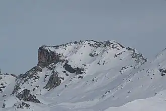 View from the Corne de Sorebois (west side) | |
| Highest point | |
| Elevation | 3,070 m (10,070 ft) |
| Prominence | 100 m (330 ft)[1] |
| Parent peak | Hirsihorn |
| Coordinates | 46°11′33.6″N 7°39′31.8″E / 46.192667°N 7.658833°E |
| Geography | |
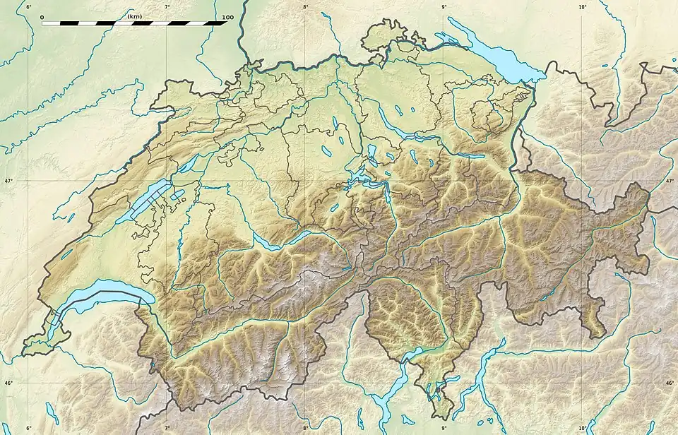 Le Boudri Location in Switzerland | |
| Location | Valais, Switzerland |
| Parent range | Pennine Alps |
Le Boudri (also known as Burgihorn) is a mountain of the Swiss Pennine Alps, located east of Ayer in the canton of Valais. It lies between the valleys of Anniviers and Turtmann, north of the Hirsihorn.
References
- ^ Retrieved from the Swisstopo topographic maps and Google Earth. The key col is located south of the summit at 2,970 metres.
External links