Lennox Mountain
| Lennox Mountain | |
|---|---|
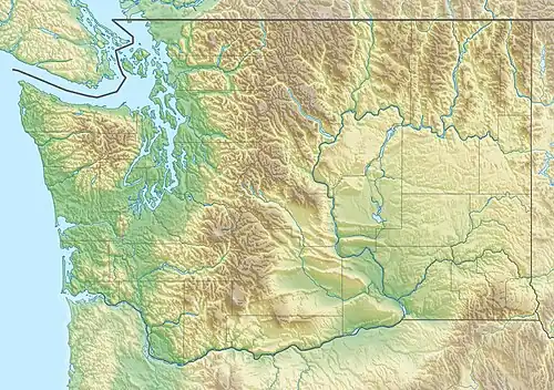 Lennox Mountain Location in Washington  Lennox Mountain Lennox Mountain (the United States) | |
| Highest point | |
| Elevation | 5,898 ft (1,798 m)[1][2] |
| Prominence | 2,054 ft (626 m)[1] |
| Coordinates | 47°40′04″N 121°28′23″W / 47.667841°N 121.473058°W[1] |
| Geography | |
| Location | King County, Washington state, U.S. |
| Parent range | Cascade Range |
| Topo map | USGS Grotto |
| Geology | |
| Rock type | Granite |
| Climbing | |
| First ascent | 1915[3] |
| Easiest route | Hiking Bare Mountain Trailhead[4][5] |
Lennox Mountain is an 5,898-foot (1,798 m) mountain summit located in King County of Washington state. Lennox mountain extends a ridge South towards Canoe peak making a bowl structure where Lake Kanim sits, the origin source of the North Fork of the Snoqualmie River. From Lennox Mountain a second ridge with rocky double cliffs is formed running East towards Coney's Cones-South Peak where the Coney Basin and Coney Lake sit which produces a tributary of the west fork of Miller River.[6] Access to Lennox Mountain is from Bare Mountain trailhead which reaches Canoe Peak.[4]
See also
References
- ^ a b c "Lennox Mountain, Washington". Peakbagger.com.
- ^ U.S. Geological Survey Geographic Names Information System: Lennox Mountain
- ^ Summitpost.org. "Lennox Mountain". Retrieved June 6, 2021.
- ^ a b "Lennox Mountain". Peakery.com. Retrieved June 21, 2021.
- ^ "Lennox Creek Trail 1001". USDA.gov. Retrieved June 21, 2021.
- ^ "Lennox Mountain, Washington". Peakbagger.com.