Les Graulges
Les Graulges | |
|---|---|
Part of Mareuil en Périgord | |
 | |
Location of Les Graulges | |
 Les Graulges  Les Graulges | |
| Coordinates: 45°29′46″N 0°26′34″E / 45.4961°N 0.4428°E | |
| Country | France |
| Region | Nouvelle-Aquitaine |
| Department | Dordogne |
| Arrondissement | Nontron |
| Canton | Brantôme |
| Commune | Mareuil en Périgord |
Area 1 | 4.13 km2 (1.59 sq mi) |
| Population (2022)[1] | 78 |
| • Density | 19/km2 (49/sq mi) |
| Time zone | UTC+01:00 (CET) |
| • Summer (DST) | UTC+02:00 (CEST) |
| Postal code | 24340 |
| Elevation | 98–185 m (322–607 ft) (avg. 175 m or 574 ft) |
| 1 French Land Register data, which excludes lakes, ponds, glaciers > 1 km2 (0.386 sq mi or 247 acres) and river estuaries. | |
Les Graulges (French pronunciation: [le ɡʁolʒ]; Limousin: Los Grauges) is a former commune in the Dordogne department in Nouvelle-Aquitaine in southwestern France. On 1 January 2017, it was merged into the new commune Mareuil en Périgord.[2]
Geography
The Lizonne forms the commune's southern border. The Bretanges, a tributary of the Lizonne, forms part of the commune's southeastern border.
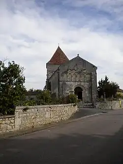
The village lies in the southern part of the commune, on a height above the Lizonne.
Population
| Year | Pop. | ±% |
|---|---|---|
| 1962 | 100 | — |
| 1968 | 96 | −4.0% |
| 1975 | 93 | −3.1% |
| 1982 | 84 | −9.7% |
| 1990 | 66 | −21.4% |
| 1999 | 61 | −7.6% |
| 2008 | 83 | +36.1% |
See also
References
- ^ "Populations de référence 2022" [Reference populations 2022] (PDF) (in French). INSEE. December 2024.
- ^ Arrêté préfectoral 26 September 2016 (in French)
Wikimedia Commons has media related to Les Graulges.