Letha, Idaho
Letha, Idaho | |
|---|---|
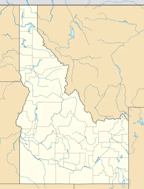 Letha, Idaho Location within the state of Idaho  Letha, Idaho Letha, Idaho (the United States) | |
| Coordinates: 43°53′37″N 116°38′43″W / 43.89361°N 116.64528°W | |
| Country | United States |
| State | Idaho |
| County | Gem |
| Elevation | 2,287 ft (697 m) |
| Time zone | UTC-7 (Mountain (MST)) |
| • Summer (DST) | UTC-6 (MDT) |
| ZIP codes | 83617 |
| Area codes | 208, 986 |
| GNIS feature ID | 2804064[1] |
Letha is an unincorporated community and census-designated place in Gem County, Idaho The community is located 8 mi (13 km) west of Emmett.[2] The Payette River flows northeast of Letha.
History
Letha was founded by W.W. Wilton and a Colonel Barnard and named for Wilton's daughter, Letha Wilton. It was built approximately midway along the railway running from Emmett to New Plymouth, Idaho, with anticipation that it would become a major rail center; although this never occurred, Letha today remains a service center for the adjacent farms and ranches.
Letha's population was estimated at 100 in 1960.[3]
Utilities and services
The community includes a fire department, religious facilities, and manufacturing facilities. Higher education, police, medical and legal services are found at nearby Emmett.[4]
Notable people
- Pro-Life, farmer and perennial candidate in Idaho politics
References
- ^ a b U.S. Geological Survey Geographic Names Information System: Letha, Idaho
- ^ "Letha, Idaho - Community Profile". RoadsideThoughts. Retrieved April 28, 2017.
- ^ World Book Encyclopedia. Vol. I. Field Enterprises Corporation. 1960. p. 27.
- ^ Letha, Idaho Archived 2009-04-12 at the Wayback Machine, Gem County Chamber of Commerce, 2009. Accessed 2009-05-19.
Municipalities and communities of Gem County, Idaho, United States | ||
|---|---|---|
| City | 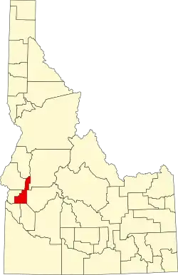 | |
| CDP | ||
| Other communities | ||