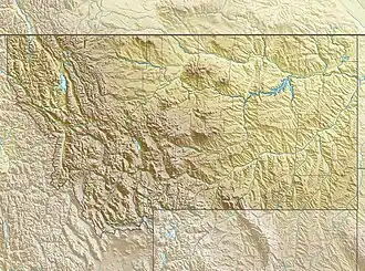
Limestone Hills (Montana)
| Limestone Hills | |
|---|---|
 Limestone Hills | |
| Highest point | |
| Elevation | 4,977 ft (1,517 m) |
| Coordinates | 46°14′59″N 111°37′34″W / 46.24972°N 111.62611°W |
| Geography | |
| Country | United States |
| State | Montana |
The Limestone Hills, el. 4,977 feet (1,517 m),[1] is a sub-range of the Big Belt Mountains southwest of Townsend, Montana in Broadwater County, Montana.