Limkheda
Limkheda | |
|---|---|
Town | |
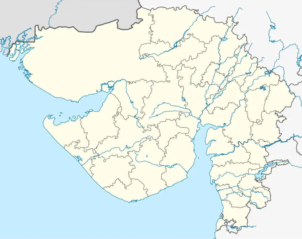 Limkheda Location in Gujarat, India  Limkheda Limkheda (India) | |
| Coordinates: 22°49′0″N 73°59′0″E / 22.81667°N 73.98333°E | |
| Country | |
| State | Gujarat |
| District | Dahod |
| Elevation | 207 m (679 ft) |
| Languages | |
| • Official | Gujarati, Hindi |
| Time zone | UTC+5:30 (IST) |
| Vehicle registration | GJ |
| Website | gujaratindia |
Limkheda is a village in Dahod district, Gujarat, India.
Geography
It is located at 22°49′0″N 73°59′0″E / 22.81667°N 73.98333°E at an elevation of 207 metres (680 ft).[1]
Location
Limkheda is 25 kilometres (16 mi) west of Dahod. Nearest airport is Harni Airport at Vadodara.
National Highway 59 passes through Limkheda.
References
External links